
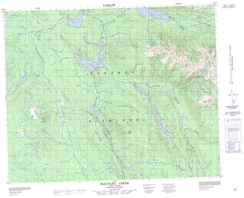
093A02 Mckinley Creek Canada topo map, 1:50,000 scale
093A02 Mckinley Creek NRCAN topographic map.
Includes UTM and GPS geographic coordinates (latitude and longitude). This 50k scale map is suitable for hiking, camping, and exploring, or you could frame it as a wall map.
Printed on-demand using high resolution, on heavy weight and acid free paper, or as an upgrade on a variety of synthetic materials.
Topos available on paper, Waterproof, Poly, or Tyvek. Usually shipping rolled, unless combined with other folded maps in one order.
- Product Number: NRCAN-093A02
- Parent Topo: TOPO-093A
- Map ID also known as: 093A02, 93A2, 93A02
- Unfolded Size: Approximately 26" high by 36" wide
- Weight (paper map): ca. 55 grams
- Map Type: POD NRCAN Topographic Map
- Map Scale: 1:50,000
- Geographical region: British Columbia, Canada
Neighboring Maps:
All neighboring Canadian topo maps are available for sale online at 1:50,000 scale.
Purchase the smaller scale map covering this area: Topo-093A
Spatial coverage:
Topo map sheet 093A02 Mckinley Creek covers the following places:
- Boscar Lake - Bosk Lake - Buster Lake - Crooked Lake - Cruiser Lake - Deception Lake - Elbow Lake - Gotchen (Katharine) Lake - Gotchen Lake - Hendrix (Sunset) Lake - Hendrix Lake - Hidden Lake - McKee Lake - McNeil Lake - No Name Lake - Tisdall Lake - Big Timothy Mountain - Boss Mountain - Boss Mountain - Deception Mountain - Hendrix Mountain - Mount Beisig - Mount Hendrix - Quesnel Highland - Takomkane Mountain - Cariboo Regional District - Fraser Plateau - Interior Plateau - Alderswamp Creek - Art Creek - Balloch Creek - Bassett Creek - Blackfly Creek - Boss Creek - Bowlby Creek - Burtt Creek - Cruiser Creek - Deception Creek - Dietrich Creek - Divan Creek - Gifford Creek - Hendrix (Martin) Creek - Hendrix Creek - Martin Creek - McKusky Creek - Moffat Creek - Molybdenite Creek - Rushing Creek - Ruth Redfern Creek - Ryan Creek - Shallow Creek - Speedy Creek - Stinson Creek - Hendrix Lake


