
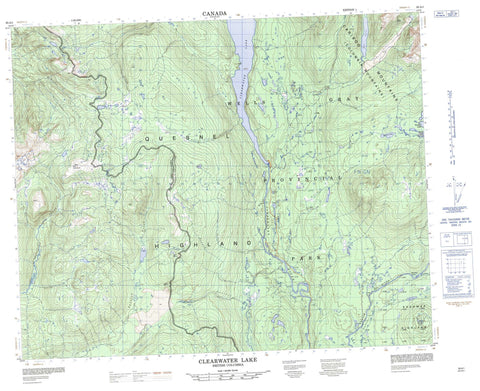
093A01 Clearwater Lake Canada topo map, 1:50,000 scale
093A01 Clearwater Lake NRCAN topographic map.
Includes UTM and GPS geographic coordinates (latitude and longitude). This 50k scale map is suitable for hiking, camping, and exploring, or you could frame it as a wall map.
Printed on-demand using high resolution, on heavy weight and acid free paper, or as an upgrade on a variety of synthetic materials.
Topos available on paper, Waterproof, Poly, or Tyvek. Usually shipping rolled, unless combined with other folded maps in one order.
- Product Number: NRCAN-093A01
- Parent Topo: TOPO-093A
- Map ID also known as: 093A01, 93A1, 93A01
- Unfolded Size: Approximately 26" high by 36" wide
- Weight (paper map): ca. 55 grams
- Map Type: POD NRCAN Topographic Map
- Map Scale: 1:50,000
- Geographical region: British Columbia, Canada
Neighboring Maps:
All neighboring Canadian topo maps are available for sale online at 1:50,000 scale.
Purchase the smaller scale map covering this area: Topo-093A
Spatial coverage:
Topo map sheet 093A01 Clearwater Lake covers the following places:
- Caribou Beach - Flourmill Volcanoes - Baileys Chute - Clegara Falls - Donkey Falls - Horseshoe Falls - Majerus Falls - Osprey Falls - Alice Lake - Clearwater Lake - Cranberry Lake - Falls Lake - Five Fingers Lake - Jack Norman Lake - Kostal Lake - Lone Spoon Lake - Majerus Lake - Mirror Lake - Pyramid Lake - Ray Lake - Shadow Lake - Spanish Lake - Zellers Lake - Cariboo Mountain - Columbia Mountains - McLeod Hill - Mica Mountain - Quesnel Highland - Shuswap Highland - Cariboo Regional District - Wellesley Gray Recreation Area - Wells Gray Park - Wells Gray Recreation Area - Interior Plateau - Normans Eddy - Alice Creek - Archer Creek - Beaver Creek - Blackwater Creek - Clearwater River - Daniel Creek - Deception Creek - Donald Creek - Donkey Creek - Falls Creek - Flourmill Creek - Lone Spoon Creek - McKusky Creek - Mink Creek - Murtle River - Spanish Creek - The Horseshoe - Chain Meadows


