
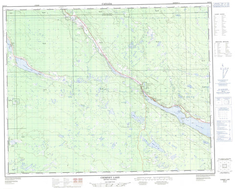
092P13 Chimney Lake Canada topo map, 1:50,000 scale
092P13 Chimney Lake NRCAN topographic map.
Includes UTM and GPS geographic coordinates (latitude and longitude). This 50k scale map is suitable for hiking, camping, and exploring, or you could frame it as a wall map.
Printed on-demand using high resolution, on heavy weight and acid free paper, or as an upgrade on a variety of synthetic materials.
Topos available on paper, Waterproof, Poly, or Tyvek. Usually shipping rolled, unless combined with other folded maps in one order.
- Product Number: NRCAN-092P13
- Parent Topo: TOPO-092P
- Map ID also known as: 092P13, 92P13
- Unfolded Size: Approximately 26" high by 36" wide
- Weight (paper map): ca. 55 grams
- Map Type: POD NRCAN Topographic Map
- Map Scale: 1:50,000
- Geographical region: British Columbia, Canada
Neighboring Maps:
All neighboring Canadian topo maps are available for sale online at 1:50,000 scale.
Purchase the smaller scale map covering this area: Topo-092P
Spatial coverage:
Topo map sheet 092P13 Chimney Lake covers the following places:
- Kokanee Bay - Loon Lake Indian Reserve 10 - Réserve indienne Loon Lake 10 - Réserve indienne Windy Mouth 7 - Sampson's Meadow Indian Reserve 11A - Windy Mouth Indian Reserve 7 - Emerald Island - 130 Mile Lake - Bearpaw Lake - Bobtail Lake - Brushy Lake - Camacho Lake - Cambaceres Lake - Chimney Lake - Dingwall Lakes - Dixon Lake - Felker Lake - Hale Lake - Helena Lake - Island Lake - John Lake - Lac la Hache - Long Johnny Lake - Marling Lake - Maze Lake - Muench Lake - Murphy Lake - Parker Lake - Phililloo Lake - Place Lake - Rosa Lake - Steamboat Lake - Thirsty Lake - Walmith Lake - Woodfrog Lake - Cariboo Regional District - Cariboo Nature Park - Lac La Hache Park - Fraser Plateau - Interior Plateau - Dennis Creek - Dingwall Creek - Forbes Creek - Helena Creek - Island Creek - John Lake Creek - Knife Creek - Muench Creek - Murphy Creek - Parker Creek - Rosa Creek - San Jose River - Scott Creek - 122 Mile House - 127 Mile House - Canama - Enterprise - Wright - Callaghan Meadow


