
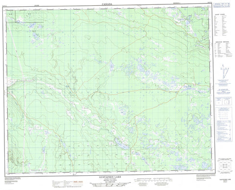
092P12 Gustafsen Lake Canada topo map, 1:50,000 scale
092P12 Gustafsen Lake NRCAN topographic map.
Includes UTM and GPS geographic coordinates (latitude and longitude). This 50k scale map is suitable for hiking, camping, and exploring, or you could frame it as a wall map.
Printed on-demand using high resolution, on heavy weight and acid free paper, or as an upgrade on a variety of synthetic materials.
Topos available on paper, Waterproof, Poly, or Tyvek. Usually shipping rolled, unless combined with other folded maps in one order.
- Product Number: NRCAN-092P12
- Parent Topo: TOPO-092P
- Map ID also known as: 092P12, 92P12
- Unfolded Size: Approximately 26" high by 36" wide
- Weight (paper map): ca. 55 grams
- Map Type: POD NRCAN Topographic Map
- Map Scale: 1:50,000
- Geographical region: British Columbia, Canada
Neighboring Maps:
All neighboring Canadian topo maps are available for sale online at 1:50,000 scale.
Purchase the smaller scale map covering this area: Topo-092P
Spatial coverage:
Topo map sheet 092P12 Gustafsen Lake covers the following places:
- Beaverlodge Lakes - Boar Lake - Brushy Lake - Cambyses Lake - Camden Lake - Crane Lakes - Deer Lake - Emerald Lake - Enterprise Lake - Fish Lake - Grebe Lake - Gulatch Lake - Gustafsen Lake - Hannan Lake - Holden Lake - Hummer Lake - Little Holden Lake - Long Lake - Moose Lake - Neilson Lake - Rock Lake - Snag Lake - Cariboo Regional District - Flat Lake Park - Moose Valley Park - Fraser Plateau - Interior Plateau - Dog Creek - Helena Creek - Little Bridge Creek - Pigeon Creek - Rock Creek - Moose Valley - Augustine Flat


