
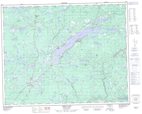
092P06 Green Lake Canada topo map, 1:50,000 scale
092P06 Green Lake NRCAN topographic map.
Includes UTM and GPS geographic coordinates (latitude and longitude). This 50k scale map is suitable for hiking, camping, and exploring, or you could frame it as a wall map.
Printed on-demand using high resolution, on heavy weight and acid free paper, or as an upgrade on a variety of synthetic materials.
Topos available on paper, Waterproof, Poly, or Tyvek. Usually shipping rolled, unless combined with other folded maps in one order.
- Product Number: NRCAN-092P06
- Parent Topo: TOPO-092P
- Map ID also known as: 092P06, 92P6, 92P06
- Unfolded Size: Approximately 26" high by 36" wide
- Weight (paper map): ca. 55 grams
- Map Type: POD NRCAN Topographic Map
- Map Scale: 1:50,000
- Geographical region: British Columbia, Canada
Neighboring Maps:
All neighboring Canadian topo maps are available for sale online at 1:50,000 scale.
Purchase the smaller scale map covering this area: Topo-092P
Spatial coverage:
Topo map sheet 092P06 Green Lake covers the following places:
- Boyd Bay - Emerald Bay - Interlakes - Tinmusket Indian Reserve 5A - Bishop Lake - Boyd Lake - Bullock Lake - Cunningham Lake - Davis Lake - Dundon Lakes - Eightythree Lake - Gracy Lake - Green Lake - Gwenie Lake - Home Lake - Hutchison Lake - Jim Lake - Komori Lake - Lake of the Woods - Lesser Green Lake - Little Green Lake - Little Horse Lake - Loch Lomond - Marsden Lake - McMahon Lake - Nolan Lake - Pressy Lake - Round Lake - Si Lake - Sodium Lake - Taylor Lake - Tin Cup Lake - Trapping Lake - Watch Lake - Wilkinson Lake - Young Lake - Horseshoe Hill - Mount Begbie - Mount Jack - Mount Jim - Mount Rosemary - Tin Cup Mountain - Cariboo Regional District - Green Lake Park - Green Lake Recreation Area - Fraser Plateau - Green Timber Plateau - Interior Plateau - Thompson Plateau - Bonaparte River - Boyd Creek - Campeau Creek - Cunningham Creek - Dundon Creek - Eightyseven Creek - Eightythree Creek - Fly Creek - Nolan Creek - Rayfield River - Si Creek - Sixtyone Creek - Taylor Creek - Tin Cup Creek - Watch Creek - Whitley Creek - 70 Mile - 70 Mile House - 87 Mile House - Dundon - Eightyseven Mile House - Flying U - Flying-U - Graham - Gravel Pit - Koster


