
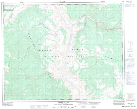
092O08 Empire Valley Canada topo map, 1:50,000 scale
092O08 Empire Valley NRCAN topographic map.
Includes UTM and GPS geographic coordinates (latitude and longitude). This 50k scale map is suitable for hiking, camping, and exploring, or you could frame it as a wall map.
Printed on-demand using high resolution, on heavy weight and acid free paper, or as an upgrade on a variety of synthetic materials.
Topos available on paper, Waterproof, Poly, or Tyvek. Usually shipping rolled, unless combined with other folded maps in one order.
- Product Number: NRCAN-092O08
- Parent Topo: TOPO-092O
- Map ID also known as: 092O08, 92O8, 92O08
- Unfolded Size: Approximately 26" high by 36" wide
- Weight (paper map): ca. 55 grams
- Map Type: POD NRCAN Topographic Map
- Map Scale: 1:50,000
- Geographical region: British Columbia, Canada
Neighboring Maps:
All neighboring Canadian topo maps are available for sale online at 1:50,000 scale.
Purchase the smaller scale map covering this area: Topo-092O
Spatial coverage:
Topo map sheet 092O08 Empire Valley covers the following places:
- Canoe Creek Indian Reserve 1 - Canoe Creek Indian Reserve 2 - Réserve indienne Canoe Creek 1 - Réserve indienne Canoe Creek 2 - Réserve indienne Spilmouse 4 - Spilmouse Indian Reserve 4 - Brown Lake - China Lake - Coster Lake - Grouse Lake - Koster Lake - Onion Lake - Poison Lake - Separating Lake - Big Bar Mountain - Black Dome Mountain - Camelsfoot Mountains - Camelsfoot Range - Marble Mountains - Marble Range - Pavilion Mountains - Pavilion Range - Cariboo Regional District - Fraser Plateau - Green Timber Plateau - Interior Plateau - Big Bar Creek - Boiler Creek - Borin Creek - Canoe Creek - China Creek - China Gulch - Churn Creek - Coster Creek - Crows Bar Creek - Deadman Creek - Fairless Creek - Fraser River - Grinder Creek - Higginbottom Creek - Indian Meadows Creek - Kenworthy Creek - Koster Creek - Little Churn Creek - Lone Cabin Creek - Porcupine Creek - Empire Valley


