
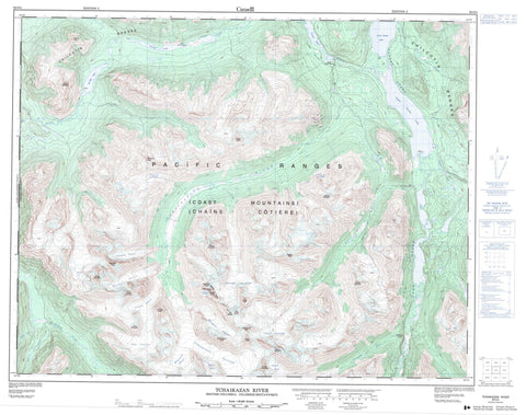
092O04 Tchaikazan River Canada topo map, 1:50,000 scale
092O04 Tchaikazan River NRCAN topographic map.
Includes UTM and GPS geographic coordinates (latitude and longitude). This 50k scale map is suitable for hiking, camping, and exploring, or you could frame it as a wall map.
Printed on-demand using high resolution, on heavy weight and acid free paper, or as an upgrade on a variety of synthetic materials.
Topos available on paper, Waterproof, Poly, or Tyvek. Usually shipping rolled, unless combined with other folded maps in one order.
- Product Number: NRCAN-092O04
- Parent Topo: TOPO-092O
- Map ID also known as: 092O04, 92O4, 92O04
- Unfolded Size: Approximately 26" high by 36" wide
- Weight (paper map): ca. 55 grams
- Map Type: POD NRCAN Topographic Map
- Map Scale: 1:50,000
- Geographical region: British Columbia, Canada
Neighboring Maps:
All neighboring Canadian topo maps are available for sale online at 1:50,000 scale.
Purchase the smaller scale map covering this area: Topo-092O
Spatial coverage:
Topo map sheet 092O04 Tchaikazan River covers the following places:
- Chapman Glacier - Discord Glacier - Falls Glacier - Friendly Glacier - Hourglass Glacier - Miserable Glacier - Monmouth Glacier - Oreamnos Glacier - Pathetic Glacier - Rifferswil Glacier - Rim Glacier - Tchaikazan Glacier - Altruist Lake - Dorothy Lake - Fishem Lake - Lower Taseko Lake - Taseko Lakes - Upper Taseko Lake - Yohetta Lake - Zero Lake - Altruist Mountain - Beehive Peak - Chaîne Côtière - Chilcotin Ranges - Coast Mountains - Corner Peak - Desperation Peak - Deviation Peak - Friendly Peak - Inspiration Peak - Marmot Towers - Metacarpus Peak - Moose Mountain - Mount Chapman - Mount Goddard - Mount Kern - Mount McLeod - Mount Pilkington - Mount Winstone - Pacific Ranges - R.C.A.F. Peak - Rim Mountain - Rock Island Peak - Rufous Mountain - Spectrum Peak - Spyglass Peak - The Beast - The Beauty - The Skunk - Cariboo Regional District - T{26}'il{27}os Park - Ts'yl-os Park - Chapman Creek - Chita Creek - Duane Creek - Edmond Creek - Falls River - Lord River - Norman Creek - Rainbow Creek - Ramose Creek - Taseko River - Tchaikazan River - Yohetta Creek - Gunn Valley - Yohetta Valley


