
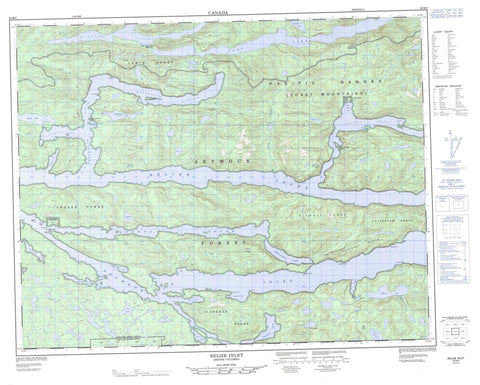
092M03 Belize Inlet Canada topo map, 1:50,000 scale
092M03 Belize Inlet NRCAN topographic map.
Includes UTM and GPS geographic coordinates (latitude and longitude). This 50k scale map is suitable for hiking, camping, and exploring, or you could frame it as a wall map.
Printed on-demand using high resolution, on heavy weight and acid free paper, or as an upgrade on a variety of synthetic materials.
Topos available on paper, Waterproof, Poly, or Tyvek. Usually shipping rolled, unless combined with other folded maps in one order.
- Product Number: NRCAN-092M03
- Parent Topo: TOPO-092M
- Map ID also known as: 092M03, 92M3, 92M03
- Unfolded Size: Approximately 26" high by 36" wide
- Weight (paper map): ca. 55 grams
- Map Type: POD NRCAN Topographic Map
- Map Scale: 1:50,000
- Geographical region: British Columbia, Canada
Neighboring Maps:
All neighboring Canadian topo maps are available for sale online at 1:50,000 scale.
Purchase the smaller scale map covering this area: Topo-092M
Spatial coverage:
Topo map sheet 092M03 Belize Inlet covers the following places:
- Alison Sound - Allison Harbour - Belize Inlet - Charlotte Bay - Chief Nollis Bay - Cougar Inlet - Ellis Bay - Frederick Bay - Henry Bay - McTaggart Bay - Peet Bay - Seymour Inlet - Strachan Bay - Summers Bay - Village Cove - Warner Bay - Wawatle Bay - Westerman Bay - Charles Point - Evans Point - Harriet Point - Harvell Point - Henry Point - Hibbard Point - Holmes Point - Isabella Point - Mensdorff Point - Nea Point - Nugent Point - Shaffer Point - White Point - Mereworth Sound - Nugent Sound - Stripe Bluff - Kai-too-kwis Indian Reserve 15 - Kequesta Indian Reserve 1 - Ko-kwi-iss Indian Reserve 14 - Na-kwockto Indian Reserve 2 - Réserve indienne Kai-too-kwis 15 - Réserve indienne Kequesta 1 - Réserve indienne Ko-kwi-iss 14 - Réserve indienne Na-kwockto 2 - Réserve indienne Toksee 4 - Réserve indienne Tsai-kwi-ee 13 - Toksee Indian Reserve 4 - Tsai-kwi-ee Indian Reserve 13 - Green Island - Harvell Islet - Holmes Islets - Rock Island - Twin Islands - Boydell Lake - Clifford Lake - Driftwood Lake - Eva Lake - Harper Lake - Hazel Lake - Hibbard Lake - Long Lake - Marion Lake - McKinnon Lagoon - Pack Lake - Parson Lake - Parsons Lake - Schwartzenberg Lagoon - Tiny Lake - Trevor Lake - Triangle Lake - Tsibass Lagoon - Woods Lagoon - Wyclees Lagoon - Baker Range - Chaîne Côtière - Coast Mountains - Conical Range - Florence Range - Fraser Range - Lewis Range - Mount Annesley - Nicholl Range - Pacific Ranges - Silverlock Hills - Tottenham Range - Central Coast Regional District - Regional District of Mount Waddington - Driftwood Creek - Eva Creek - Hibbard Creek - Nugent Creek - Parson Creek - Warner Bay


