
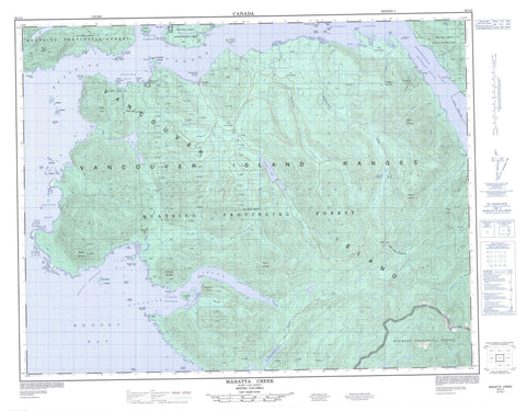
092L05 Mahatta Creek Canada topo map, 1:50,000 scale
092L05 Mahatta Creek NRCAN topographic map.
Includes UTM and GPS geographic coordinates (latitude and longitude). This 50k scale map is suitable for hiking, camping, and exploring, or you could frame it as a wall map.
Printed on-demand using high resolution, on heavy weight and acid free paper, or as an upgrade on a variety of synthetic materials.
Topos available on paper, Waterproof, Poly, or Tyvek. Usually shipping rolled, unless combined with other folded maps in one order.
- Product Number: NRCAN-092L05
- Parent Topo: TOPO-092L
- Map ID also known as: 092L05, 92L5, 92L05
- Unfolded Size: Approximately 26" high by 36" wide
- Weight (paper map): ca. 55 grams
- Map Type: POD NRCAN Topographic Map
- Map Scale: 1:50,000
- Geographical region: British Columbia, Canada
Neighboring Maps:
All neighboring Canadian topo maps are available for sale online at 1:50,000 scale.
Purchase the smaller scale map covering this area: Topo-092L
Spatial coverage:
Topo map sheet 092L05 Mahatta Creek covers the following places:
- Brooks Bay - East Cove - Gooding Cove - Harvey Cove - Julian Cove - Klaskino Anchorage - Klaskino Inlet - Klaskish Basin - Koprino Harbour - Koskimo Bay - Kultus Cove - Neroutsos Inlet - Nordstrom Cove - Quatsino Sound - Restless Bight - Shapland Cove - Side Bay - Smith Cove - Banter Point - Cliffe Point - Heater Point - Holloway Point - Kwakiutl Point - Langsdorff Point - Lawn Point - Lyons Point - May Point - Mocino Point - Pender Point - Prideaux Point - Buchholz Channel - Newton Entrance - Scouler Entrance - Clatux Indian Reserve 9 - Mah-te-nicht Indian Reserve 8 - Réserve indienne Clatux 9 - Réserve indienne Mah-te-nicht 8 - Réserve indienne Teeta 7 - Réserve indienne Telaise 1 - Réserve indienne Tsowenachs 2 - Teeta Indian Reserve 7 - Telaise 1 - Telaise Indian Reserve 1 - Tsowenachs 2 - Tsowenachs Indian Reserve 2 - Anchorage Island - Bedwell Islands - Bland Island - Botel Islet - Brockton Island - Chapman Islet - Drake Island - Farmer Islets - Gillam Islands - Half Moon Islets - Keefe Island - Koskimo Islands - Lind Islet - Lyons Islet - Mabbott Island - Mayday Island - McAllister Islet - Norgar Islet - Rugged Islands - Salmon Islands - Schloss Island - Vancouver Island - Botel Lake - Le Mare Lake - O'Connell Lake - Carter Peak - Comstock Mountain - McKay Ridge - Mount Bury - Mount Clark - Mount Kotzebue - Mount Pickering - Mount Wolfenden - Nose Peak - Red Stripe Mountain - Restless Mountain - Sieward Hill - Vancouver Island Mountains - Vancouver Island Ranges - Yaky Kop Cone - Regional District of Mount Waddington - Kwakiutl/Lawn Point Park - Lawn Point Park - Quatsino Park - Blumberg Creek - Buchholz Rock - Buck Creek - Cayuse Creek - Cleagh Creek - Colonial Creek - Coqueis Creek - Culleet Creek - Debris Creek - East Creek - Goquaw Creek - Head Creek - Julian Creek - Keith River - Kewquodie Creek - Klaskish River - Klootchlimmis Creek - Koskimo Creek - Mahatta Creek - Mahwhieclas Creek - Monkey Creek - Montgomery Creek - Power River - Sequodie Creek - Skidine Creek - Teeta Creek - Billard Rock - Brown Rock - Gould Rock - Hughes Rock - Martin Rock - Monday Rocks - Morris Rocks - Noot Rock - Pilley Shoal - Pilling Rock - Rowley Reefs - Scarf Reef - Steele Reefs - Mahatta River - Yreka - Scouler Pass


