
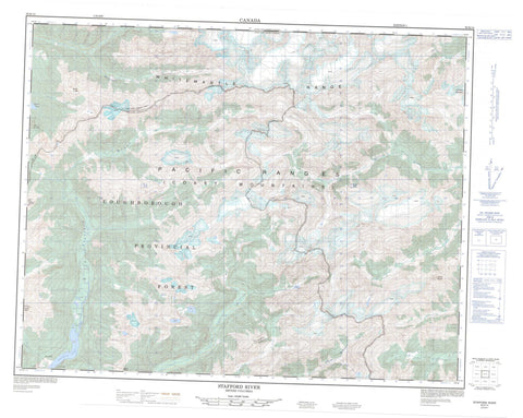
092K14 Stafford River Canada topo map, 1:50,000 scale
092K14 Stafford River NRCAN topographic map.
Includes UTM and GPS geographic coordinates (latitude and longitude). This 50k scale map is suitable for hiking, camping, and exploring, or you could frame it as a wall map.
Printed on-demand using high resolution, on heavy weight and acid free paper, or as an upgrade on a variety of synthetic materials.
Topos available on paper, Waterproof, Poly, or Tyvek. Usually shipping rolled, unless combined with other folded maps in one order.
- Product Number: NRCAN-092K14
- Parent Topo: TOPO-092K
- Map ID also known as: 092K14, 92K14
- Unfolded Size: Approximately 26" high by 36" wide
- Weight (paper map): ca. 55 grams
- Map Type: POD NRCAN Topographic Map
- Map Scale: 1:50,000
- Geographical region: British Columbia, Canada
Neighboring Maps:
All neighboring Canadian topo maps are available for sale online at 1:50,000 scale.
Purchase the smaller scale map covering this area: Topo-092K
Spatial coverage:
Topo map sheet 092K14 Stafford River covers the following places:
- Knight Inlet - Bodil Lake - Stafford Lake - Chaîne Côtière - Coast Mountains - Cumsack Mountain - Mount Cridge - Mount Dundas - Mount Henry - Mount Lang - Mount Smith - Pacific Ranges - Whitemantle Range - Regional District of Comox-Strathcona - Regional District of Mount Waddington - Apple River - Bear River - Cridge Creek - Four Mile Creek - Mellersh Creek - Phillips River - Smith Creek - Stafford River - Wahkash Creek


