
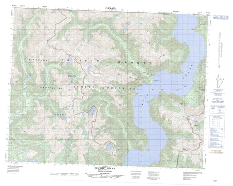
092K13 Knight Inlet Canada topo map, 1:50,000 scale
092K13 Knight Inlet NRCAN topographic map.
Includes UTM and GPS geographic coordinates (latitude and longitude). This 50k scale map is suitable for hiking, camping, and exploring, or you could frame it as a wall map.
Printed on-demand using high resolution, on heavy weight and acid free paper, or as an upgrade on a variety of synthetic materials.
Topos available on paper, Waterproof, Poly, or Tyvek. Usually shipping rolled, unless combined with other folded maps in one order.
- Product Number: NRCAN-092K13
- Parent Topo: TOPO-092K
- Map ID also known as: 092K13, 92K13
- Unfolded Size: Approximately 26" high by 36" wide
- Weight (paper map): ca. 55 grams
- Map Type: POD NRCAN Topographic Map
- Map Scale: 1:50,000
- Geographical region: British Columbia, Canada
Neighboring Maps:
All neighboring Canadian topo maps are available for sale online at 1:50,000 scale.
Purchase the smaller scale map covering this area: Topo-092K
Spatial coverage:
Topo map sheet 092K13 Knight Inlet covers the following places:
- Glacier Bay - Knight Inlet - Ahnuhati Point - Axe Point - Cascade Point - Escape Point - Herries Point - Kwalate Point - Transit Head - Transit Point - Tsukola Point - Wahkash Point - Ahnuhati Indian Reserve 6 - Réserve indienne Ahnuhati 6 - Kakweiken Lake - Matsiu Lake - Bald Peak - Chaîne Côtière - Coast Mountains - Glacier Peak - Kitty Cone - Mount Dyer - Mount Francis - Mount Gilson - Mount Hills - Mount Kennedy - Mount Lang - Mount Magin - Mount Wakefield - Mount Watson - Mount Wood - Mount Young - Pacific Ranges - Spire Peaks - Three Finger Peak - Regional District of Mount Waddington - Ahnuhati River - Bolivar Creek - Cridge Creek - Hills Creek - Kakweiken River - Kwalate Creek - Matsiu Creek - McAlister Creek - Millerd Creek - Sallie Creek - Tanockteuch Creek - Three Finger Creek - Wahkash Creek - Ahnuhati Valley


