
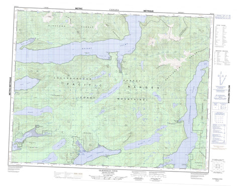
092K12 Glendale Cove Canada topo map, 1:50,000 scale
092K12 Glendale Cove NRCAN topographic map.
Includes UTM and GPS geographic coordinates (latitude and longitude). This 50k scale map is suitable for hiking, camping, and exploring, or you could frame it as a wall map.
Printed on-demand using high resolution, on heavy weight and acid free paper, or as an upgrade on a variety of synthetic materials.
Topos available on paper, Waterproof, Poly, or Tyvek. Usually shipping rolled, unless combined with other folded maps in one order.
- Product Number: NRCAN-092K12
- Parent Topo: TOPO-092K
- Map ID also known as: 092K12, 92K12
- Unfolded Size: Approximately 26" high by 36" wide
- Weight (paper map): ca. 55 grams
- Map Type: POD NRCAN Topographic Map
- Map Scale: 1:50,000
- Geographical region: British Columbia, Canada
Neighboring Maps:
All neighboring Canadian topo maps are available for sale online at 1:50,000 scale.
Purchase the smaller scale map covering this area: Topo-092K
Spatial coverage:
Topo map sheet 092K12 Glendale Cove covers the following places:
- Baresides Bay - Beaver Inlet - Call Inlet - Duncan Bay - Duncan Bight - Edith Cove - Felix Bay - Glendale Cove - Heydon Bay - Hoeya Sound - Jackson Bay - Knight Inlet - Loughborough Inlet - Port Neville - Read Bay - Sidney Bay - Siwash Bay - Topaze Harbour - Adeane Point - Barry Point - Campbell Point - Collingwood Point - Cosby Point - Dickson Point - Duncan Point - Hales Point - Hanatsa Point - Haswell Point - Hill Point - Hoeya Head - Macdonald Point - Mary Point - Mitchell Point - Molesworth Point - Murray Point - Naena Point - Neale Point - Rough Point - Sallie Point - Statham Point - Towry Head - Wignell Point - William Point - Range 1 Coast Land District - Pembroke Range - Freda Point Indian Reserve 4 - Hanatsa Indian Reserve 6 - Homayno Indian Reserve 2 - Keogh Indian Reserve 2 - Kwatse Indian Reserve 3 - Loughborough Indian Reserve 3 - Pawala Indian Reserve 5 - Port Neville Indian Reserve 4 - Réserve indienne Freda Point 4 - Réserve indienne Hanatsa 6 - Réserve indienne Homayno 2 - Réserve indienne Keogh 2 - Réserve indienne Kwatse 3 - Réserve indienne Loughborough 3 - Réserve indienne Pawala 5 - Réserve indienne Port Neville 4 - Goat Islets - Tomakstum Island - Duck Lake - Fulmore Lake - Glendale Lake - Heydon Bay Lake - Heydon Lake - Lapan Lake - Martin Lake - Pete Lake - Seabird Lake - Shannon Lake - Tom Browne Lake - Bags Hill - Baresides Mountain - Bazalgette Range - Beatrice Peak - Camp Peak - Cap Cone - Cape Cone - Chaîne Côtière - Coast Mountains - Flora Peak - Geneste Cone - Griffin Cone - Hastings Hill - Kiokh Hill - Kitty Cone - Mount Baresides - Mount Berkeley - Mount Boyle - Mount Catherine - Mount Drummond - Mount Edith - Mount Forbes - Mount Harold - Mount Lillie - Mount McDonald - Mount Prideaux - Mount Sawyer - Mount Scaife - Mount Scriven - Mount Shute - Mount Spencer - Mount St. John - Mount Stamp - Pacific Ranges - Sail Cone - Regional District of Comox-Strathcona - Regional District of Mount Waddington - Blind Creek - Bolivar Creek - Call Creek - Frazer Creek - Fulmore River - George Creek - Glendale Creek - Grassy Creek - Gray Creek - Heydon Creek - Jack Creek - Matsiu Creek - McAlister Creek - Poison Creek - Read Creek - Sallie Creek - Shamrock Creek - Shoal Creek - Tom Browne Creek - Wortley Creek - Cooper Reach - Cuthbert Rock - Lillian Rock - George River - Glendale Cove - Heydon Bay - Jackson Bay - Knight Inlet - Roy - Matsiu Valley


