
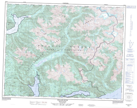
092K11 Phillips River Canada topo map, 1:50,000 scale
092K11 Phillips River NRCAN topographic map.
Includes UTM and GPS geographic coordinates (latitude and longitude). This 50k scale map is suitable for hiking, camping, and exploring, or you could frame it as a wall map.
Printed on-demand using high resolution, on heavy weight and acid free paper, or as an upgrade on a variety of synthetic materials.
Topos available on paper, Waterproof, Poly, or Tyvek. Usually shipping rolled, unless combined with other folded maps in one order.
- Product Number: NRCAN-092K11
- Parent Topo: TOPO-092K
- Map ID also known as: 092K11, 92K11
- Unfolded Size: Approximately 26" high by 36" wide
- Weight (paper map): ca. 55 grams
- Map Type: POD NRCAN Topographic Map
- Map Scale: 1:50,000
- Geographical region: British Columbia, Canada
Neighboring Maps:
All neighboring Canadian topo maps are available for sale online at 1:50,000 scale.
Purchase the smaller scale map covering this area: Topo-092K
Spatial coverage:
Topo map sheet 092K11 Phillips River covers the following places:
- Bute Inlet - Estero Basin - Fanny Bay - Frazer Bay - Frederick Arm - McBride Bay - Phillips Arm - Bullveke Point - Dyer Point - Heard Point - Hewitt Point - Pan Point - Pym Point - Pembroke Range - Matsayno Indian Reserve 5 - Réserve indienne Matsayno 5 - Anna Lake - Phillips Lake - Chaîne Côtière - Coast Mountains - Cosmos Heights - Mount Bagshaw - Mount Blake - Mount Entwistle - Mount Gardiner - Mount Henry - Mount Jones - Mount Osmington - Mount Owen - Mount Plato - Mount Pratt - Mount Read - Mount Sparshott - Mount van der Est - Pacific Ranges - Regional District of Comox-Strathcona - Apple River - Buker Creek - Frazer Creek - George Creek - Gray Creek - Jack Creek - Latelle Creek - Mellersh Creek - Mink Creek - Moh Creek - Paradise River - Phillips River - Poison Creek - Shamrock Creek - Shirley Creek - Stafford River - Wash Creek - Wickson Creek - Cooper Reach - Phillips Arm


