
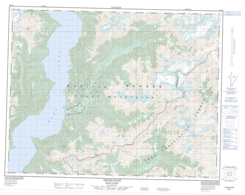
092K10 Orford River Canada topo map, 1:50,000 scale
092K10 Orford River NRCAN topographic map.
Includes UTM and GPS geographic coordinates (latitude and longitude). This 50k scale map is suitable for hiking, camping, and exploring, or you could frame it as a wall map.
Printed on-demand using high resolution, on heavy weight and acid free paper, or as an upgrade on a variety of synthetic materials.
Topos available on paper, Waterproof, Poly, or Tyvek. Usually shipping rolled, unless combined with other folded maps in one order.
- Product Number: NRCAN-092K10
- Parent Topo: TOPO-092K
- Map ID also known as: 092K10, 92K10
- Unfolded Size: Approximately 26" high by 36" wide
- Weight (paper map): ca. 55 grams
- Map Type: POD NRCAN Topographic Map
- Map Scale: 1:50,000
- Geographical region: British Columbia, Canada
Neighboring Maps:
All neighboring Canadian topo maps are available for sale online at 1:50,000 scale.
Purchase the smaller scale map covering this area: Topo-092K
Spatial coverage:
Topo map sheet 092K10 Orford River covers the following places:
- Bute Inlet - Hovel Bay - Orford Bay - Amor Point - Boyd Point - Clipper Point - Alpha Bluff - Parabola Glacier - Orford Bay Indian Reserve 4 - Réserve indienne Orford Bay 4 - Chaîne Côtière - Coast Mountains - Granite Peak - Needle Peaks - Pacific Ranges - Tolo Mountain - Regional District of Comox-Strathcona - Algard Creek - Brem River - Clipper Creek - Dupont Creek - Hillis Creek - Larson Creek - Orford River - Paradise River - Quatam River - Tahumming River


