
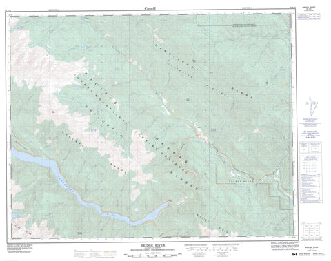
092J16 Bridge River Canada topo map, 1:50,000 scale
092J16 Bridge River NRCAN topographic map.
Includes UTM and GPS geographic coordinates (latitude and longitude). This 50k scale map is suitable for hiking, camping, and exploring, or you could frame it as a wall map.
Printed on-demand using high resolution, on heavy weight and acid free paper, or as an upgrade on a variety of synthetic materials.
Topos available on paper, Waterproof, Poly, or Tyvek. Usually shipping rolled, unless combined with other folded maps in one order.
- Product Number: NRCAN-092J16
- Parent Topo: TOPO-092J
- Map ID also known as: 092J16, 92J16
- Unfolded Size: Approximately 26" high by 36" wide
- Weight (paper map): ca. 55 grams
- Map Type: POD NRCAN Topographic Map
- Map Scale: 1:50,000
- Geographical region: British Columbia, Canada
Neighboring Maps:
All neighboring Canadian topo maps are available for sale online at 1:50,000 scale.
Purchase the smaller scale map covering this area: Topo-092J
Spatial coverage:
Topo map sheet 092J16 Bridge River covers the following places:
- Terzaghi Dam - Bridge River Indian Reserve 1 - Réserve indienne Bridge River 1 - Réserve indienne Slosh 1A - Slosh Indian Reserve 1A - Burkholder Lake - Carol Lake - Carpenter Lake - Keary Lake - Lake La Mare - Serpentine Lake - Bendor Range - Camelsfoot Mountains - Camelsfoot Range - Chaîne Côtière - Coast Mountains - Marshall Ridge - Mission Ridge - Mount Birch - Mount Bishop - Mount Duncan - Nosebag Mountain - Pacific Ranges - Rex Peak - Rex Peaks - Shulaps Mountain - Shulaps Range - Slok Hill - Yalakom Game Reserve - Antoine Creek - Applespring Creek - Beaverdam Creek - Bighorn Creek - Brett Creek - Bridge River - Buck Creek - Burkholder Creek - Camoo Creek - Cedarvale Creek - Doe Creek - Fall Creek - Fred Creek - Hell Creek - Hog Creek - Holbrook Creek - Jones Creek - Junction Creek - Keary Creek - La Rochelle Creek - Leon Creek - Marshall Creek - McKay Creek - Michelmoon Creek - Moon Creek - North Jones Creek - Nosebag Creek - Ore Creek - Peridotite Creek - Retaskit Creek - Sebring Creek - Shulaps Creek - Slok Creek - Viera Creek - Yalakom River - Moha - Rexmount - Mission Pass


