
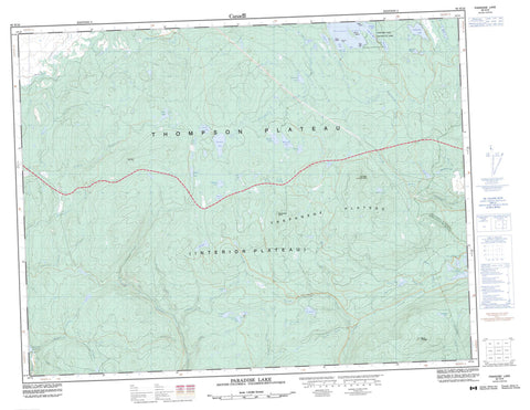
092H16 Paradise Lake Canada topo map, 1:50,000 scale
092H16 Paradise Lake NRCAN topographic map.
Includes UTM and GPS geographic coordinates (latitude and longitude). This 50k scale map is suitable for hiking, camping, and exploring, or you could frame it as a wall map.
Printed on-demand using high resolution, on heavy weight and acid free paper, or as an upgrade on a variety of synthetic materials.
Topos available on paper, Waterproof, Poly, or Tyvek. Usually shipping rolled, unless combined with other folded maps in one order.
- Product Number: NRCAN-092H16
- Parent Topo: TOPO-092H
- Map ID also known as: 092H16, 92H16
- Unfolded Size: Approximately 26" high by 36" wide
- Weight (paper map): ca. 55 grams
- Map Type: POD NRCAN Topographic Map
- Map Scale: 1:50,000
- Geographical region: British Columbia, Canada
Neighboring Maps:
All neighboring Canadian topo maps are available for sale online at 1:50,000 scale.
Purchase the smaller scale map covering this area: Topo-092H
Spatial coverage:
Topo map sheet 092H16 Paradise Lake covers the following places:
- Chapman Bay - Dole Bay - Peterson Bay - Todd Bay - Hancock Point - Belle Island - Lone Tree Islet - Storm Island - And Another Lake - Another Lake - Bobs Lake - Boot Lake - Boulder Lake - Brenda Lake - Chapman Lake - Creighton Lake - Crescent Lake - Elkhart Lake - Ellen Lake - Friday Lake - Galena Lake - Hatheume Lake - Headwater Lakes - Hidden Lake - Island Lake - Johns Lake - Marsh Lake - Missezula Lake - Neveu Lake - Orchid Lake - Paradise Lake - Pattinson Lake - Pennask Lake - Peterson Lake - Pinnacle Lake - Pitin Lake - Pringle Lake - Rat Lake - Reservoir Lake - Saturday Lake - Siwash Lake - Skunk Lake - Steer Lake - Sunday Lake - Sunset Lake - Tepee Lakes - Tommy Lake - Vinson Lake - Walker Lake - Whitehead Lake - CulminationPoint - Gap Mountain - Mount Kathleen - Pennask Mountain - The Wart - Pennask Lake Park - Pennask Lake Recreation Area - Thompson Plateau - Trepanege Plateau - Allan Creek - Brenda Creek - Chapman Creek - Conglin Creek - Crescent Creek - Dillard Creek - Elusive Creek - Galena Creek - Galois Creek - Hepton Creek - Klamin Creek - Leonard Creek - MacDonald Creek - Murray Tree Creek - North Trout Creek - Peachland Creek - Pennask Creek - Pitin Creek - Pothole Creek - Quilchena Creek - Shrimpton Creek - Simem Creek - Siwash Creek - Spring Creek - Summers Creek - Tepee Creek - Trout Creek - Vinson Creek - Walker Creek - Wasley Creek - Whitehead Creek - Pearl Rocks


