
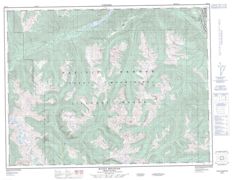
092H13 Scuzzy Mountain Canada topo map, 1:50,000 scale
092H13 Scuzzy Mountain NRCAN topographic map.
Includes UTM and GPS geographic coordinates (latitude and longitude). This 50k scale map is suitable for hiking, camping, and exploring, or you could frame it as a wall map.
Printed on-demand using high resolution, on heavy weight and acid free paper, or as an upgrade on a variety of synthetic materials.
Topos available on paper, Waterproof, Poly, or Tyvek. Usually shipping rolled, unless combined with other folded maps in one order.
- Product Number: NRCAN-092H13
- Parent Topo: TOPO-092H
- Map ID also known as: 092H13, 92H13
- Unfolded Size: Approximately 26" high by 36" wide
- Weight (paper map): ca. 55 grams
- Map Type: POD NRCAN Topographic Map
- Map Scale: 1:50,000
- Geographical region: British Columbia, Canada
Neighboring Maps:
All neighboring Canadian topo maps are available for sale online at 1:50,000 scale.
Purchase the smaller scale map covering this area: Topo-092H
Spatial coverage:
Topo map sheet 092H13 Scuzzy Mountain covers the following places:
- New Westminster Land District - Yale Division Yale Land District - Boothroyd Indian Reserve 5B - Boothroyd Indian Reserve 6A - Inkahtsaph Indian Reserve 6 - Réserve indienne Boothroyd 5B - Réserve indienne Boothroyd 6A - Réserve indienne Inkahtsaph 6 - Nahatlatch Lake - Cairn Needle - Cascade Mountains - Chaîne Côtière - Coast Mountains - Fraser Peak - Lillooet Range - Lillooet Ranges - Mount Laughlan - Mount McEwen - Mount Nesbitt - Mount Whistlepig - Nahatlatch Needle - Nipple Plateau - Pacific Ranges - Scuzzy Mountain - The Nipple - Two Squaws Mountain - Fraser Valley Regional District - Regional District of Fraser-Cheam - Mehatl Creek Park - Nahatlatch Park - Big Silver Creek - Butter Creek - Fleuve Fraser - Fraser River - Hunger Creek - Inkahtsaph Creek - Kookipi Creek - Mehatl Creek - Nahatlatch River - Nepopulchin Creek - Scuzzy Creek - Six Mile Creek - Speyum Creek - Squakum Creek - Tachewana Creek - Tsileuh Creek - Whistlepig Creek


