
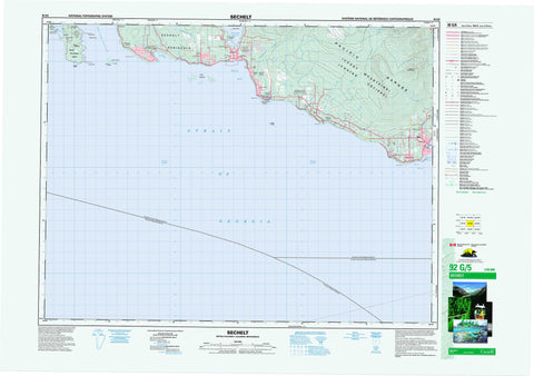
092G05 Sechelt Canada topo map, 1:50,000 scale
092G05 Sechelt NRCAN topographic map.
Includes UTM and GPS geographic coordinates (latitude and longitude). This 50k scale map is suitable for hiking, camping, and exploring, or you could frame it as a wall map.
Printed on-demand using high resolution, on heavy weight and acid free paper, or as an upgrade on a variety of synthetic materials.
Topos available on paper, Waterproof, Poly, or Tyvek. Usually shipping rolled, unless combined with other folded maps in one order.
- Product Number: NRCAN-092G05
- Parent Topo: TOPO-092G
- Map ID also known as: 092G05, 92G5, 92G05
- Unfolded Size: Approximately 26" high by 36" wide
- Weight (paper map): ca. 55 grams
- Map Type: POD NRCAN Topographic Map
- Map Scale: 1:50,000
- Geographical region: British Columbia, Canada
Neighboring Maps:
All neighboring Canadian topo maps are available for sale online at 1:50,000 scale.
Purchase the smaller scale map covering this area: Topo-092G
Spatial coverage:
Topo map sheet 092G05 Sechelt covers the following places:
- Buccaneer Bay - Howe Sound - Porpoise Bay - Sargeant Bay - Sechelt Inlet - Seechelt Inlet - Trail Bay - Water Bay - Gill Beach - Dennis Head - Gower Point - Grassy Point - Lemberg Point - Mission Point - Reception Point - Rock Point - Sechelt Peninsula - Wolf Point - Shoal Channel - Strait of Georgia - Welcome Pass - Welcome Passage - Sechelt - Nanaimo Land District - New Westminster Land District - Réserve indienne Seshelt 2 - Réserve indienne Swaycalse 3 - Réserve indienne Tsawcome 1 - Seshelt Indian Reserve 2 - Swaycalse Indian Reserve 3 - Tsawcome Indian Reserve 1 - Bertha Island - Franklin Island - Merry Island - North Thormanby Island - Poise Island - South Thormanby Island - Thormanby Islands - Trail Islands - White Islets - Chaîne Côtière - Coast Mountains - Mount Elphinstone - Mount Seafield - Pacific Ranges - Spy Glass Hill - Regional District of Nanaimo - Sechelt SB 2 - Swaycalse SB 3 - Tsawcome SB 1 - Brothers Memorial Park - Buccaneer Bay Park - Chaster Park - Mount Elphinstone Park - Roberts Creek Park - Sargeant Bay Park - Simson Marine Park - Simson Park - Burnett Creek - Cairns Creek - Chapman Creek - Chaster Creek - Clack Creek - Clough Brook - Colvin Creek - Cook Creek - Dakota Creek - East Wilson Creek - Flume Creek - Gibson Creek - Gough Creek - Husdon Creek - Irgens Creek - Joe Smith Creek - Kenyon Creek - Langdale Creek - Malcolm Creek - Roberts Creek - Robinson Creek - Wakefield Creek - Wilson Creek - Wood Creek - Ballenas Trough - Egerton Rock - Fraser Rock - Gordon Rock - Halibut Bank - McCall Bank - Pirate Rock - Gibsons - Boundary Road - Buccaneer Bay - Davis Bay - Elphinstone - Gower Point - Redroofs - Roberts Creek - Sechelt Indian Government District - Selma Park - Welcome Beach - Wilson Creek - Gibsons Landing


