
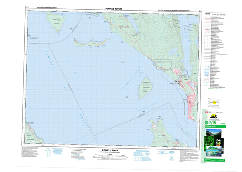
092F15 Powell River Canada topo map, 1:50,000 scale
092F15 Powell River NRCAN topographic map.
Includes UTM and GPS geographic coordinates (latitude and longitude). This 50k scale map is suitable for hiking, camping, and exploring, or you could frame it as a wall map.
Printed on-demand using high resolution, on heavy weight and acid free paper, or as an upgrade on a variety of synthetic materials.
Topos available on paper, Waterproof, Poly, or Tyvek. Usually shipping rolled, unless combined with other folded maps in one order.
- Product Number: NRCAN-092F15
- Parent Topo: TOPO-092F
- Map ID also known as: 092F15, 92F15
- Unfolded Size: Approximately 26" high by 36" wide
- Weight (paper map): ca. 55 grams
- Map Type: POD NRCAN Topographic Map
- Map Scale: 1:50,000
- Geographical region: British Columbia, Canada
Neighboring Maps:
All neighboring Canadian topo maps are available for sale online at 1:50,000 scale.
Purchase the smaller scale map covering this area: Topo-092F
Spatial coverage:
Topo map sheet 092F15 Powell River covers the following places:
- Blubber Bay - Caesar Cove - Chippewa Bay - Crescent Bay - Dog Bay - Duck Bay - Eagle Cove - Finn Cove - Freke Anchorage - Haywire Bay - Keefer Bay - Limekiln Bay - Okeover Arm - Okeover Inlet - Schmarge Bay - Scuttle Bay - Seal Bay - Stag Bay - Sturt Bay - Thornton Bay - Van Anda Cove - Vananda Cove - Ashworth Point - Beacon Point - Blubber Point - First Point - Garnet Point - Grief Point - Grilse Point - Hidalgo Point - Hodgson Point - Hurtado Point - Indian Point - Kiddie Point - Mace Point - Malaspina Peninsula - Marshall Point - Point Marshall - Second Point - Sturt Point - Treat Point - Van Anda Point - Vananda Point - Whalebone Point - Algerine Passage - Malaspina Strait - Manson Passage - Shearwater Passage - Strait of Georgia - Thulin Passage - Powell River - Grant Bluff - Marble Bluff - Comox Land District - Nanaimo Land District - New Westminster Land District - Sayward Land District - Texada Island Land District - Harwood Island Indian Reserve 2 - Réserve indienne Harwood Island 2 - Réserve indienne Sliammon 1 - Réserve indienne Tokenatch 5 - Sliammon Indian Reserve 1 - Tokenatch Indian Reserve 5 - Copeland Islands - Goat Island - Harwood Island - Hernando Island - Île de Vancouver - Major Islet - Mitlenatch Island - Savary Island - Sevilla Island - Texada Island - Vancouver Island - Vivian Island - Chipewa Lake - Cranberry Lake - Inland Lake - Little Sliammon Lake - Lund Lake - Petri Lake - Powell Lake - Sliammon Lake - Spectacle Lake - The Lagoon - Thulin Lake - Bunster Range - Chaîne Côtière - Coast Mountains - Gallagher Hill - Gwendoline Hills - Leaning Tree Hill - Mount Porteous - Pacific Ranges - Powell Hill - Scout Park Hill - Valentine Hill - Powell River Regional District - Copeland Islands Marine Park - Kitty Coleman Beach Park - Mitlenatch Island Nature Park - Okeover Arm Park - Appleton Creek - Blubber Creek - Browne Creek - Kitty Coleman Creek - Powell River - Sliammon Creek - Squatter Creek - Sturt Creek - Suspension Bridge Creek - Thulin Creek - Van Anda Creek - Vananda Creek - Wilde Creek - Alan Bank - Atrevida Reef - Cyril Rock - Dinner Rock - Dog Rock - Grant Reefs - Keefer Rock - Lucy Rock - Montgomery Bank - Mystery Reef - Oswald Bank - Rebecca Rock - Scott Rock - Sentry Shoal - Stradiotti Reef - Ursula Rock - Blubber Bay - Cranberry - Cranberry Lake - Larsons Landing - Lund - Savary Island - Sliammon - Van Anda - Vananda - Westview - Wildwood - Wildwood Heights


