
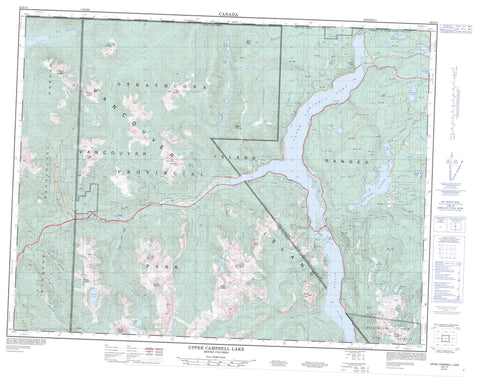
092F13 Upper Campbell Lake Canada topo map, 1:50,000 scale
092F13 Upper Campbell Lake NRCAN topographic map.
Includes UTM and GPS geographic coordinates (latitude and longitude). This 50k scale map is suitable for hiking, camping, and exploring, or you could frame it as a wall map.
Printed on-demand using high resolution, on heavy weight and acid free paper, or as an upgrade on a variety of synthetic materials.
Topos available on paper, Waterproof, Poly, or Tyvek. Usually shipping rolled, unless combined with other folded maps in one order.
- Product Number: NRCAN-092F13
- Parent Topo: TOPO-092F
- Map ID also known as: 092F13, 92F13
- Unfolded Size: Approximately 26" high by 36" wide
- Weight (paper map): ca. 55 grams
- Map Type: POD NRCAN Topographic Map
- Map Scale: 1:50,000
- Geographical region: British Columbia, Canada
Neighboring Maps:
All neighboring Canadian topo maps are available for sale online at 1:50,000 scale.
Purchase the smaller scale map covering this area: Topo-092F
Spatial coverage:
Topo map sheet 092F13 Upper Campbell Lake covers the following places:
- Dolly Varden Point - Dollyvarden Point - Lady Falls - Mia Falls - Comox Land District - Nootka Land District - Sayward Land District - Île de Vancouver - Vancouver Island - Bacon Lake - Beadnell Lake - Beavertail Lake - Becher Lake - Bertha Lake - Buttle Lake - Camp Lake - Crater Lake - Crest Lake - Darkis Lake - Drum Lakes - Eena Lake - Elk Lake - Flume Lake - Gentian Lake - Gold Lake - Gooseneck Lake - Hawarth Lake - Landslide Lake - Mia Lake - Mud Lake - Myra Lake - Nola Lake - Raven Lake - Reginald Lake - Snake Lake - Snakehead Lake - Tlools Lake - Upper Campbell Lake - Upper Quinsam Lake - Volcano Lake - Wokas Lake - Big Den Mountain - Camel Ridge - Crest Mountain - Crown Mountain - Elkhorn Mountain - Horseshoe Mountain - Kings Peak - Lupin Mountain - Mount Adrian - Mount Cobb - Mount Colonel Foster - Mount Evelyn - Mount Filberg - Mount Flannigan - Mount Haig-Brown - Mount Heber - Mount Judson - Mount Laing - Mount Titus - Puzzle Mountain - Tyee Mountain - Vancouver Island Mountains - Vancouver Island Ranges - White Ridge - Strathcona Park - White Ridge Park - Adrian Creek - Beadnell Creek - Beavertail Creek - Butterwort Creek - Campbell River - Cervus Creek - Crest Creek - Crowned Creek - Elk River - Filberg Creek - Gold River - Greenstone Creek - Hawkins Creek - Heber River - Horseshoe Creek - Idsardi Creek - Mia Creek - Mine Creek - Moh Creek - Nikie Creek - Puzzle Creek - Quinsam River - Ranald Creek - Salmon River - Saunders Creek - Sihun Creek - Tlools Creek - Volcano Creek - Wolf River - Boulding Bog


