
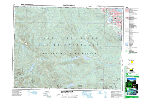
092F01 Nanaimo Lakes Canada topo map, 1:50,000 scale
092F01 Nanaimo Lakes NRCAN topographic map.
Includes UTM and GPS geographic coordinates (latitude and longitude). This 50k scale map is suitable for hiking, camping, and exploring, or you could frame it as a wall map.
Printed on-demand using high resolution, on heavy weight and acid free paper, or as an upgrade on a variety of synthetic materials.
Topos available on paper, Waterproof, Poly, or Tyvek. Usually shipping rolled, unless combined with other folded maps in one order.
- Product Number: NRCAN-092F01
- Parent Topo: TOPO-092F
- Map ID also known as: 092F01, 92F1, 92F01
- Unfolded Size: Approximately 26" high by 36" wide
- Weight (paper map): ca. 55 grams
- Map Type: POD NRCAN Topographic Map
- Map Scale: 1:50,000
- Geographical region: British Columbia, Canada
Neighboring Maps:
All neighboring Canadian topo maps are available for sale online at 1:50,000 scale.
Purchase the smaller scale map covering this area: Topo-092F
Spatial coverage:
Topo map sheet 092F01 Nanaimo Lakes covers the following places:
- Icarus Point - Strait of Georgia - Nanaimo - Lantzville - Englishman River Falls - Cameron Land District - Cowichan Lake Land District - Douglas Land District - Dunsmuir Land District - Mountain Land District - Nanoose Land District - Wellington Land District - Nanoose Indian Reserve - Réserve indienne Nanoose - Île de Vancouver - Vancouver Island - Barsby Lake - Blackjack Lake - Boomerang Lake - Brannen Lake - Cottle Lake - Diver Lake - Fourth Lake - Green Lake - Haley Lake - Healy Lake - Jump Lake - Kidney Lake - Knight Lake - Labour Day Lake - Long Lake - Lucid Lake - Moriarty Lake - Nanaimo Lakes - Okay Lake - Rhododendron Lake - Round Lake - Rowbotham Lake - Shaw Lake - Shelton Lake - Sno-Bird Lake - Third Lake - Westwood Lake - Champ de tir Nanaimo - Nanaimo Range - Blackjack Ridge - Buffalo Hump - Butler Peak - Cottle Hill - Gemini Mountain - Green Mountain - McKay Peak - Mount Benson - Mount DeCosmos - Mount Hooker - Mount Moriarty - Okay Mountain - Vancouver Island Mountains - Vancouver Island Ranges - Cowichan Valley Regional District - Regional District of Nanaimo - Arbutus Grove Park - Englishman River Falls Park - Long Lake Park - Anderson Creek - Bell Creek - Benson Creek - Blackjack Creek - Bloods Creek - Bonell Creek - Boulder Creek - Cameron River - Chase River - Craig Creek - Dash Creek - Deadhorse Creek - Dunsmuir Creek - Elkhorn Creek - Englishman River - Fleece Creek - Flynnfall Creek - Green Creek - Green River - Hardy Creek - Jump Creek - Knarston Creek - Manson Creek - Marshall Creek - McGarrigle Creek - McNeil Creek - Metral Creek - Millstone River - Moriarty Creek - Nanaimo River - Nanoose Creek - North Nanaimo River - Price Creek - Rockyrun Creek - Rush Creek - Sadie Creek - Shaw Creek - South Englishman River - South Nanaimo River - Whisky-jack Creek - Wolf Creek - East Wellington - Wellington


