
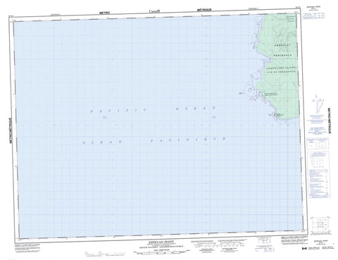
092E07 Estevan Point Canada topo map, 1:50,000 scale
092E07 Estevan Point NRCAN topographic map.
Includes UTM and GPS geographic coordinates (latitude and longitude). This 50k scale map is suitable for hiking, camping, and exploring, or you could frame it as a wall map.
Printed on-demand using high resolution, on heavy weight and acid free paper, or as an upgrade on a variety of synthetic materials.
Topos available on paper, Waterproof, Poly, or Tyvek. Usually shipping rolled, unless combined with other folded maps in one order.
- Product Number: NRCAN-092E07
- Parent Topo: TOPO-092E
- Map ID also known as: 092E07, 92E7, 92E07
- Unfolded Size: Approximately 26" high by 36" wide
- Weight (paper map): ca. 55 grams
- Map Type: POD NRCAN Topographic Map
- Map Scale: 1:50,000
- Geographical region: British Columbia, Canada
Neighboring Maps:
All neighboring Canadian topo maps are available for sale online at 1:50,000 scale.
Purchase the smaller scale map covering this area: Topo-092E
Spatial coverage:
Topo map sheet 092E07 Estevan Point covers the following places:
- Barcester Bay - Homais Cove - Homeis Cove - Mooyah Bay - Siwash Cove - Smokehouse Bay - Antons Spit - Dagger Point - Estevan Point - Hesquiat Peninsula - Split Cape - Homais Indian Reserve 2 - Réserve indienne Homais 2 - Île de Vancouver - Vancouver Island - Alto Lake - Hisnit Lake - Ice Lake - Megin Lake - Sheila Lake - Shiela Lake - Village Lake - Mount Bourke - Mount Flores - Vancouver Island Ranges - Regional District of Alberni-Clayoquot - Regional District of Comox-Strathcona - Hesquiat Peninsula Park - Cow Creek - Purdon Creek - Satchie Creek - Talbot Creek - Perez Rocks - Boat Basin - Estevan Point


