
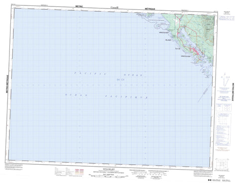
092C13 Ucluelet Canada topo map, 1:50,000 scale
092C13 Ucluelet NRCAN topographic map.
Includes UTM and GPS geographic coordinates (latitude and longitude). This 50k scale map is suitable for hiking, camping, and exploring, or you could frame it as a wall map.
Printed on-demand using high resolution, on heavy weight and acid free paper, or as an upgrade on a variety of synthetic materials.
Topos available on paper, Waterproof, Poly, or Tyvek. Usually shipping rolled, unless combined with other folded maps in one order.
- Product Number: NRCAN-092C13
- Parent Topo: TOPO-092C
- Map ID also known as: 092C13, 92C13
- Unfolded Size: Approximately 26" high by 36" wide
- Weight (paper map): ca. 55 grams
- Map Type: POD NRCAN Topographic Map
- Map Scale: 1:50,000
- Geographical region: British Columbia, Canada
Neighboring Maps:
All neighboring Canadian topo maps are available for sale online at 1:50,000 scale.
Purchase the smaller scale map covering this area: Topo-092C
Spatial coverage:
Topo map sheet 092C13 Ucluelet covers the following places:
- Florencia Bay - Long Bay - Spring Cove - Stewart Bay - Stuart Bay - Ucluelet Inlet - Wickaninnish Bay - Amphitrite Point - Esowista Peninsula - Low Peninsula - Quisitis Point - Ucluth Peninsula - Wya Point - Alpha Passage - Carolina Channel - David Channel - Felice Channel - Macoah Passage - Newcombe Channel - Ship Channel - Ugly Channel - Ucluelet - Clakamucus Indian Reserve 2 - Dookqua Indian Reserve 5 - Dookqua Indian Reserve 5A - Ittatsoo Indian Reserve 1 - Oo-oolth Indian Reserve 8 - Réserve indienne Clakamucus 2 - Réserve indienne Dookqua 5 - Réserve indienne Dookqua 5A - Réserve indienne Ittatsoo 1 - Réserve indienne Oo-oolth 8 - Réserve indienne Stuart Bay 6 - Réserve indienne Ucluth 6 - Réserve indienne Wya 7 - Stuart Bay Indian Reserve 6 - Ucluth Indian Reserve 6 - Wya Indian Reserve 7 - Beg Island - Beg Islands - Channel Island - Florencia Islet - Francis Island - George Fraser Islands - Hyphocus Island - Île de Vancouver - Janson Island - Kvarno Island - Lookout Island - Lyche Island - Native Islet - North Island - Shelter Islands - Vancouver Island - Itatsoo Lake - Mercer Lake - Vancouver Island Mountains - Vancouver Island Ranges - Regional District of Alberni-Clayoquot - Pacific Rim National Park Reserve of Canada - Réserve de parc national du Canada Pacific Rim - East Smith Creek - Itatsoo Creek - Lost Shoe Creek - Mercantile Creek - Smith Creek - Thornton Creek - Centre Reef - Humphries Reef - Jenny Reef - La Pérouse Bank - Native Rock - Sutton Rock - Port Albion


