
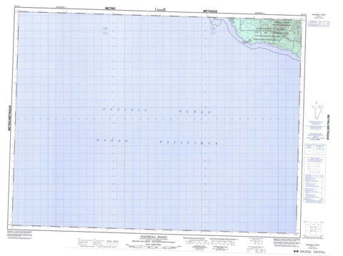
092C11 Pachena Point Canada topo map, 1:50,000 scale
092C11 Pachena Point NRCAN topographic map.
Includes UTM and GPS geographic coordinates (latitude and longitude). This 50k scale map is suitable for hiking, camping, and exploring, or you could frame it as a wall map.
Printed on-demand using high resolution, on heavy weight and acid free paper, or as an upgrade on a variety of synthetic materials.
Topos available on paper, Waterproof, Poly, or Tyvek. Usually shipping rolled, unless combined with other folded maps in one order.
- Product Number: NRCAN-092C11
- Parent Topo: TOPO-092C
- Map ID also known as: 092C11, 92C11
- Unfolded Size: Approximately 26" high by 36" wide
- Weight (paper map): ca. 55 grams
- Map Type: POD NRCAN Topographic Map
- Map Scale: 1:50,000
- Geographical region: British Columbia, Canada
Neighboring Maps:
All neighboring Canadian topo maps are available for sale online at 1:50,000 scale.
Purchase the smaller scale map covering this area: Topo-092C
Spatial coverage:
Topo map sheet 092C11 Pachena Point covers the following places:
- Pachena Point - Masit Indian Reserve 13 - Réserve indienne Masit 13 - Île de Vancouver - Vancouver Island - Somerset Range - Vancouver Island Ranges - Regional District of Alberni-Clayoquot - Pacific Rim National Park Reserve of Canada - Réserve de parc national du Canada Pacific Rim - Billy Goat Creek - Black River - Darling River - Hegstrom Creek - Malthsit - Michigan Creek - Orange Juice Creek - Tsocowis Creek - West Coast Trail - Seabird Rocks - Soquel Bank


