
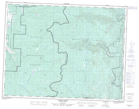
082L04 Shorts Creek Canada topo map, 1:50,000 scale
082L04 Shorts Creek NRCAN topographic map.
Includes UTM and GPS geographic coordinates (latitude and longitude). This 50k scale map is suitable for hiking, camping, and exploring, or you could frame it as a wall map.
Printed on-demand using high resolution, on heavy weight and acid free paper, or as an upgrade on a variety of synthetic materials.
Topos available on paper, Waterproof, Poly, or Tyvek. Usually shipping rolled, unless combined with other folded maps in one order.
- Product Number: NRCAN-082L04
- Parent Topo: TOPO-082L
- Map ID also known as: 082L04, 82L4, 82L04
- Unfolded Size: Approximately 26" high by 36" wide
- Weight (paper map): ca. 55 grams
- Map Type: POD NRCAN Topographic Map
- Map Scale: 1:50,000
- Geographical region: British Columbia, Canada
Neighboring Maps:
All neighboring Canadian topo maps are available for sale online at 1:50,000 scale.
Purchase the smaller scale map covering this area: Topo-082L
Spatial coverage:
Topo map sheet 082L04 Shorts Creek covers the following places:
- Barton Lake - Big Horn Reservoir - Christie Lake - Duo Via Lake - Eileen Lake - Esperon Lake - Ferguson Lake - Frank Ward Lake - Hudson Bay Lake - Lavigure Lake - Loch Drinkie - Morrison Lake - Okanagan Lake - Old Dave Lake - Sandberg Lake - Seaton Lake - Stuart Lake - Sucker Lake - Tadpole Lake - Terrace Lake - Treadgold Lake - Barton Hill - Chapperon Mountain - Dome Rock Mountain - Mount Chapperon - Mount Eileen - Mount Sandberg - Roundtop Mountain - Sugarloaf Mountain - Terrace Mountain - White Rocks Mountain - Whiterocks Mountain - Regional District of Central Okanagan - Fintry Park - Thompson Plateau - Alocin Creek - Attenborough Creek - Bald Range Creek - Beak Creek - Bouleau Creek - Browns Creek - Chapperon Creek - Christie Creek - Cinnabar Creek - Dimetri Creek - DunWaters Creek - Emily Creek - Esperon Creek - Frank Ward Creek - Frankward Creek - Godwin Creek - Hamilton Creek - Hudson Bay Creek - Hurry Creek - Lambly Creek - Lean-to Creek - McMullen Creek - Morden Creek - Nicola River - Norris Creek - North Lambly Creek - North Terrace Creek - Pyke Creek - Quilpituk Creek - Reid Creek - Reil Creek - Sandberg Creek - Shorts Creek - Smith Creek - South Whiteman Creek - Stuart Creek - Tarrant Creek - Terrace Creek - Whiteman Creek - Wilson Creek - Young Creek - Ewing - Killarney Beach - Killiney Beach


