
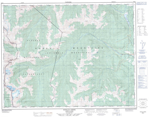
082K01 Findlay Creek Canada topo map, 1:50,000 scale
082K01 Findlay Creek NRCAN topographic map.
Includes UTM and GPS geographic coordinates (latitude and longitude). This 50k scale map is suitable for hiking, camping, and exploring, or you could frame it as a wall map.
Printed on-demand using high resolution, on heavy weight and acid free paper, or as an upgrade on a variety of synthetic materials.
Topos available on paper, Waterproof, Poly, or Tyvek. Usually shipping rolled, unless combined with other folded maps in one order.
- Product Number: NRCAN-082K01
- Parent Topo: TOPO-082K
- Map ID also known as: 082K01, 82K1, 82K01
- Unfolded Size: Approximately 26" high by 36" wide
- Weight (paper map): ca. 55 grams
- Map Type: POD NRCAN Topographic Map
- Map Scale: 1:50,000
- Geographical region: British Columbia, Canada
Neighboring Maps:
All neighboring Canadian topo maps are available for sale online at 1:50,000 scale.
Purchase the smaller scale map covering this area: Topo-082K
Spatial coverage:
Topo map sheet 082K01 Findlay Creek covers the following places:
- Findlay Glacier - Toby Glacier - Duncan Lake - Whitetail Lake - Barn Mountain - Columbia Mountains - Doctor Peak - Duchess Peak - Hyak Mountain - Midge Peak - Mount Clutterbuck - Mount Findlay - Mount Lees - Mount Morigeau - Mount Peechee - Mount Rowand - Mount St. Maur - Pert Peak - Purcell Mountains - Saffron Peak - Trikootenay Peak - Regional District of Central Kootenay - Regional District of East Kootenay - Purcell Wilderness Conservancy - Purcell Wilderness Conservancy Park - Alton Creek - Carney Creek - Clear Creek - Deer Creek - Doctor Creek - Dutch Creek - Findlay Creek - Fry Creek - Frying Pan Creek - Granite Creek - Honeysuckle Creek - Huckleberry Creek - Middle Findlay Creek - Morigeau Creek - Periwinkle Creek - South Toby Creek - Valentine Creek - Whitetail Creek


