
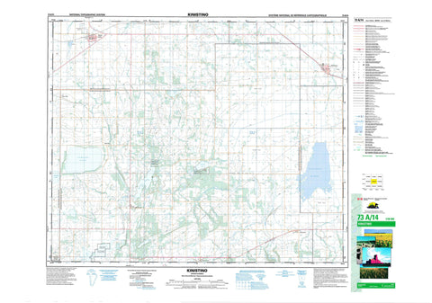
073A14 Kinistino Canada topo map, 1:50,000 scale
073A14 Kinistino NRCAN topographic map.
Includes UTM and GPS geographic coordinates (latitude and longitude). This 50k scale map is suitable for hiking, camping, and exploring, or you could frame it as a wall map.
Printed on-demand using high resolution, on heavy weight and acid free paper, or as an upgrade on a variety of synthetic materials.
Topos available on paper, Waterproof, Poly, or Tyvek. Usually shipping rolled, unless combined with other folded maps in one order.
- Product Number: NRCAN-073A14
- Parent Topo: TOPO-073A
- Map ID also known as: 073A14, 73A14
- Unfolded Size: Approximately 26" high by 36" wide
- Weight (paper map): ca. 55 grams
- Map Type: POD NRCAN Topographic Map
- Map Scale: 1:50,000
- Geographical region: Saskatchewan, Canada
Neighboring Maps:
All neighboring Canadian topo maps are available for sale online at 1:50,000 scale.
Purchase the smaller scale map covering this area: Topo-073A
Spatial coverage:
Topo map sheet 073A14 Kinistino covers the following places:
- Crystal Springs - Meskanaw - Dickson Lake - Jumping Lake - Struthers Lake - Tway Lake - Wolverine Lake - Birch Hills No. 460 - Flett's Springs No. 429 - Hoodoo No. 401 - Invergordon No. 430 - Kinistino No. 459 - St. Louis No. 431 - Ingvald Opseth Wildlife Refuge - Réserve nationale de faune de Tway - Struthers Lake Regional Park - Tway National Wildlife Area - Carrot River - Coldwell Creek - Cromarty Creek - McCloy Creek - Birch Hills - Kinistino - Crescent Hill - Invergordon - Tiger Hills - Waitville - Waterhen Marsh - Yellow Creek


