
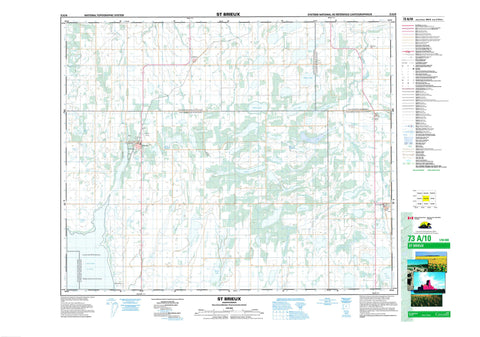
073A10 St Brieux Canada topo map, 1:50,000 scale
073A10 St Brieux NRCAN topographic map.
Includes UTM and GPS geographic coordinates (latitude and longitude). This 50k scale map is suitable for hiking, camping, and exploring, or you could frame it as a wall map.
Printed on-demand using high resolution, on heavy weight and acid free paper, or as an upgrade on a variety of synthetic materials.
Topos available on paper, Waterproof, Poly, or Tyvek. Usually shipping rolled, unless combined with other folded maps in one order.
- Product Number: NRCAN-073A10
- Parent Topo: TOPO-073A
- Map ID also known as: 073A10, 73A10
- Unfolded Size: Approximately 26" high by 36" wide
- Weight (paper map): ca. 55 grams
- Map Type: POD NRCAN Topographic Map
- Map Scale: 1:50,000
- Geographical region: Saskatchewan, Canada
Neighboring Maps:
All neighboring Canadian topo maps are available for sale online at 1:50,000 scale.
Purchase the smaller scale map covering this area: Topo-073A
Spatial coverage:
Topo map sheet 073A10 St Brieux covers the following places:
- Pathlow - Bergot Lake - Dezou Lake - Dormouse Lake - Eagle Lake - Evan Lake - Fox Lake - Hudson Lake - Lac Vert Nord - Lenore Lake - Long Lake - Malyas Lake - Meyers Lake - Miora Lake - Norona Lake - Paterson Lake - Ranch Lake - Solberg Lake - Stinking Lakes - Virgil Lake - Flett's Springs No. 429 - Lake Lenore No. 399 - Pleasantdale No. 398 - Star City No. 428 - Lenore Lake Bird Sanctuary - Lenore Lake Wildlife Refuge - Refuge d'oiseaux du lac Lenore - St. Brieux Regional Park - Barrier River - Flett Creek - Goosehunting Creek - Melfort Creek - Thatch Creek - St. Brieux - Daylesford - Folgoet - Kermaria - Morwick - Resource - Silver Park - Tilly - Pleasantdale


