
072P08 Punnichy Canada topo map, 1:50,000 scale
072P08 Punnichy NRCAN topographic map.
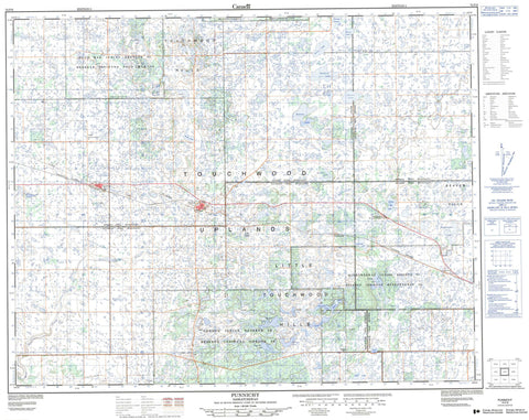
Includes UTM and GPS geographic coordinates (latitude and longitude). This 50k scale map is suitable for hiking, camping, and exploring, or you could frame it as a wall map.
Printed on-demand using high resolution, on heavy weight and acid free paper, or as an upgrade on a variety of synthetic materials.
Topos available on paper, Waterproof, Poly, or Tyvek. Usually shipping rolled, unless combined with other folded maps in one order.
- Product Number: NRCAN-072P08
- Parent Topo: TOPO-072P
- Map ID also known as: 072P08, 72P8, 72P08
- Unfolded Size: Approximately 26" high by 36" wide
- Weight (paper map): ca. 55 grams
- Map Type: POD NRCAN Topographic Map
- Map Scale: 1:50,000
- Geographical region: Saskatchewan, Canada
Neighboring Maps:
All neighboring Canadian topo maps are available for sale online at 1:50,000 scale.
Purchase the smaller scale map covering this area: Topo-072P
Spatial coverage:
Topo map sheet 072P08 Punnichy covers the following places:
- Gordon 86 - Kawacatoose First Nation 88 - Muskowekwan 85 - Muskowekwan 85-11 - Muskowekwan 85-13 - Muskowekwan 85-14 - Muskowekwan 85-15 - Muskowekwan 85-16 - Muskowekwan 85-18 - Muskowekwan 85-25 - Muskowekwan 85-3 - Muskowekwan 85-30 - Muskowekwan 85-32 - Muskowekwan 85-34 - Muskowekwan 85-35 - Muskowekwan 85-4 - Muskowekwan 85-40 - Muskowekwan 85-42 - Muskowekwan 85-44 - Muskowekwan 85-5 - Muskowekwan 85-52 - Muskowekwan 85-53 - Muskowekwan 85-6 - Muskowekwan 85-7 - Muskowekwan 85-9 - Muskowekwan 85A - Poorman 88 - Big Fort Lake - Bittern Lake - Browns Lake - Doctor Lake - Hallis Lake - Heubach Lake - Hudson Bay Lake - Kawakatoos Lake - Kelly Lake - Kutawa Lake - Little Fort Lake - Loon Creek Lake - McNab Lake - Michel Lake - Mission Lake - Muscowequan Lake - Neiber Lake - Oochoo Lake - Pattison Lake - Pelletier Lake - Perry Lake - Pinacie Lake - Posthumus Lake - Pratt Lake - Reserve Lake - Seer Lake - Spafford Lake - Touchwood Lake - Wolf Lake - Yonkman Lake - Beaver Hills - Little Touchwood Hills - Touchwood Hills - Emerald No. 277 - Kellross No. 247 - Kutawa No. 278 - Mount Hope No. 279 - Touchwood No. 248 - Touchwood Hills Post Provincial Historic Park - Touchwood Hills Post Provincial Park - Touchwood Hills Provincial Historic Park - Touchwood Hills Provincial Recreation Site - Touchwood Uplands - West Loon Creek - Kutawa - Touchwood - Strangs Slough - Punnichy - Quinton


