
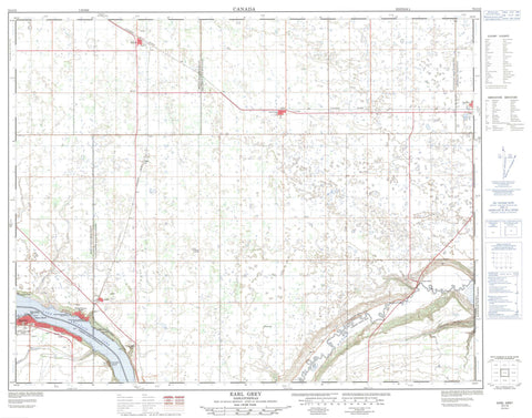
072I15 Earl Grey Canada topo map, 1:50,000 scale
072I15 Earl Grey NRCAN topographic map.
Includes UTM and GPS geographic coordinates (latitude and longitude). This 50k scale map is suitable for hiking, camping, and exploring, or you could frame it as a wall map.
Printed on-demand using high resolution, on heavy weight and acid free paper, or as an upgrade on a variety of synthetic materials.
Topos available on paper, Waterproof, Poly, or Tyvek. Usually shipping rolled, unless combined with other folded maps in one order.
- Product Number: NRCAN-072I15
- Parent Topo: TOPO-072I
- Map ID also known as: 072I15, 72I15
- Unfolded Size: Approximately 26" high by 36" wide
- Weight (paper map): ca. 55 grams
- Map Type: POD NRCAN Topographic Map
- Map Scale: 1:50,000
- Geographical region: Saskatchewan, Canada
Neighboring Maps:
All neighboring Canadian topo maps are available for sale online at 1:50,000 scale.
Purchase the smaller scale map covering this area: Topo-072I
Spatial coverage:
Topo map sheet 072I15 Earl Grey covers the following places:
- Alta Vista - Last Mountain Lake - Cupar No. 218 - Longlaketon No. 219 - Lumsden No. 189 - McKillop No. 220 - Last Mountain House Provincial Park - Regina Beach Recreation Site - Saskatchewan Beach Regional Park - Valeport Recreation Site - Qu'Appelle River - Regina Beach - Southey - Buena Vista Park - Euston - Fairy Hill - Gibbs - Glenbrea - Sunset Bay - Valeport - Snoasis Valley - Buena Vista - Bulyea - Earl Grey - Kannata Valley - Lumsden Beach - Saskatchewan Beach - Silton - Sunset Cove


