
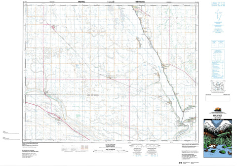
072I14 Holdfast Canada topo map, 1:50,000 scale
072I14 Holdfast NRCAN topographic map.
Includes UTM and GPS geographic coordinates (latitude and longitude). This 50k scale map is suitable for hiking, camping, and exploring, or you could frame it as a wall map.
Printed on-demand using high resolution, on heavy weight and acid free paper, or as an upgrade on a variety of synthetic materials.
Topos available on paper, Waterproof, Poly, or Tyvek. Usually shipping rolled, unless combined with other folded maps in one order.
- Product Number: NRCAN-072I14
- Parent Topo: TOPO-072I
- Map ID also known as: 072I14, 72I14
- Unfolded Size: Approximately 26" high by 36" wide
- Weight (paper map): ca. 55 grams
- Map Type: POD NRCAN Topographic Map
- Map Scale: 1:50,000
- Geographical region: Saskatchewan, Canada
Neighboring Maps:
All neighboring Canadian topo maps are available for sale online at 1:50,000 scale.
Purchase the smaller scale map covering this area: Topo-072I
Spatial coverage:
Topo map sheet 072I14 Holdfast covers the following places:
- Little Arm Bay - Fox Point - Pelican Point - Colesdale Park - Lasal Bay - Lipp's Beach - Mohr's Beach - North Colesdale Park - Sarnia Beach - Sorenson's Beach - Spring Bay - Strasbourg Beach - Uhl's Bay - Last Mountain Lake 80A - Last Mountain Lake - Dufferin No. 190 - McKillop No. 220 - Sarnia No. 221 - Arm River Recreation Site - Regina Beach Recreation Site - Rowan's Ravine Provincial Park - Arm River - Regina Beach - Fox Point - Kedleston - Kedleston Beach - Marieton - Marieton Beach - Pelican Point - Sunset Bay - Wee-Too Beach - Klockow Ravine - Rowan Ravine - Rowan's Ravine - Alice Beach - Dilke - Findlater - Glen Harbour - Grandview Beach - Holdfast - Island View - Pelican Pointe - Sunset Cove - Wee Too Beach


