
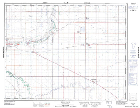
072I06 Drinkwater Canada topo map, 1:50,000 scale
072I06 Drinkwater NRCAN topographic map.
Includes UTM and GPS geographic coordinates (latitude and longitude). This 50k scale map is suitable for hiking, camping, and exploring, or you could frame it as a wall map.
Printed on-demand using high resolution, on heavy weight and acid free paper, or as an upgrade on a variety of synthetic materials.
Topos available on paper, Waterproof, Poly, or Tyvek. Usually shipping rolled, unless combined with other folded maps in one order.
- Product Number: NRCAN-072I06
- Parent Topo: TOPO-072I
- Map ID also known as: 072I06, 72I6, 72I06
- Unfolded Size: Approximately 26" high by 36" wide
- Weight (paper map): ca. 55 grams
- Map Type: POD NRCAN Topographic Map
- Map Scale: 1:50,000
- Geographical region: Saskatchewan, Canada
Neighboring Maps:
All neighboring Canadian topo maps are available for sale online at 1:50,000 scale.
Purchase the smaller scale map covering this area: Topo-072I
Spatial coverage:
Topo map sheet 072I06 Drinkwater covers the following places:
- Stony Beach Lake - Burdick Range - Champ de tir Burdick - Baildon No. 131 - Moose Jaw No. 161 - Pense No. 160 - Redburn No. 130 - Drinkwater Creek - High Hill Creek - Moose Jaw Creek - Moose Jaw River - Baildon - Burdick - Crescent Heights - Eastview - Kalium - Keystown - Madrid - Morningside - Mount Pleasant - Pasqua - Pitman - Silver Heights - Stelcam - Stony Beach - Belle Plaine - Drinkwater


