
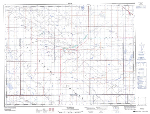
072H09 Trossachs Canada topo map, 1:50,000 scale
072H09 Trossachs NRCAN topographic map.
Includes UTM and GPS geographic coordinates (latitude and longitude). This 50k scale map is suitable for hiking, camping, and exploring, or you could frame it as a wall map.
Printed on-demand using high resolution, on heavy weight and acid free paper, or as an upgrade on a variety of synthetic materials.
Topos available on paper, Waterproof, Poly, or Tyvek. Usually shipping rolled, unless combined with other folded maps in one order.
- Product Number: NRCAN-072H09
- Parent Topo: TOPO-072H
- Map ID also known as: 072H09, 72H9, 72H09
- Unfolded Size: Approximately 26" high by 36" wide
- Weight (paper map): ca. 55 grams
- Map Type: POD NRCAN Topographic Map
- Map Scale: 1:50,000
- Geographical region: Saskatchewan, Canada
Neighboring Maps:
All neighboring Canadian topo maps are available for sale online at 1:50,000 scale.
Purchase the smaller scale map covering this area: Topo-072H
Spatial coverage:
Topo map sheet 072H09 Trossachs covers the following places:
- Weyburn - The Missouri Coteau - Trossachs - Buttermilk Lakes - Dry Lake - Tatagwa Lake - Brokenshell No. 68 - Laurier No. 38 - Lomond No. 37 - Norton No. 69 - The Gap No. 39 - Weyburn No. 67 - Brokenshell Wildlife Management Unit No. 1 - Brokenshell Creek - Gibson Creek - Jewel Creek - Long Creek - Rinfret Brook - Roughbark Creek - Abbott - Axford - Brooking - Clearfield - Forward - Grassdale - Tatagwa - Yeoman - The Gap - McTaggart


