
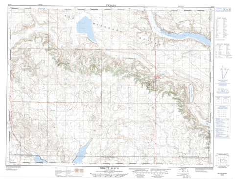
072H05 Willow Bunch Canada topo map, 1:50,000 scale
072H05 Willow Bunch NRCAN topographic map.
Includes UTM and GPS geographic coordinates (latitude and longitude). This 50k scale map is suitable for hiking, camping, and exploring, or you could frame it as a wall map.
Printed on-demand using high resolution, on heavy weight and acid free paper, or as an upgrade on a variety of synthetic materials.
Topos available on paper, Waterproof, Poly, or Tyvek. Usually shipping rolled, unless combined with other folded maps in one order.
- Product Number: NRCAN-072H05
- Parent Topo: TOPO-072H
- Map ID also known as: 072H05, 72H5, 72H05
- Unfolded Size: Approximately 26" high by 36" wide
- Weight (paper map): ca. 55 grams
- Map Type: POD NRCAN Topographic Map
- Map Scale: 1:50,000
- Geographical region: Saskatchewan, Canada
Neighboring Maps:
All neighboring Canadian topo maps are available for sale online at 1:50,000 scale.
Purchase the smaller scale map covering this area: Topo-072H
Spatial coverage:
Topo map sheet 072H05 Willow Bunch covers the following places:
- The Missouri Coteau - Lisieux - Scout Lake - St. Victor - Bonneau Lake - Fife Lake - Kabrud Lake - Montague Lake - Rivard Lake - Scott Lake - Scout Lake - Willow Bunch Lake - Bengough No. 40 - Excel No. 71 - Hart Butte No. 11 - Poplar Valley No. 12 - Willow Bunch No. 42 - Jean Louis Legare Regional Park - Jean Lowis Legare Regional Park - Saint Victor Petroglyphs Provincial Park - Silvan Valley Regional Park - Sylvan Valley Regional Park - Willow Bunch Game Preserve - East Poplar River - Hay Meadow Creek - Willow Bunch - Clark Bridge - Gye - Landscape - Little Woody - Twin Valley - Big Muddy Valley


