
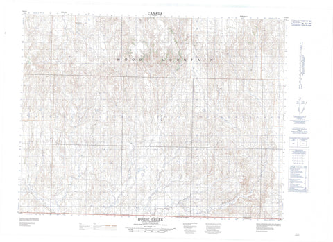
072G02 Horse Creek Canada topo map, 1:50,000 scale
072G02 Horse Creek NRCAN topographic map.
Includes UTM and GPS geographic coordinates (latitude and longitude). This 50k scale map is suitable for hiking, camping, and exploring, or you could frame it as a wall map.
Printed on-demand using high resolution, on heavy weight and acid free paper, or as an upgrade on a variety of synthetic materials.
Topos available on paper, Waterproof, Poly, or Tyvek. Usually shipping rolled, unless combined with other folded maps in one order.
- Product Number: NRCAN-072G02
- Parent Topo: TOPO-072G
- Map ID also known as: 072G02, 72G2, 72G02
- Unfolded Size: Approximately 26" high by 36" wide
- Weight (paper map): ca. 55 grams
- Map Type: POD NRCAN Topographic Map
- Map Scale: 1:50,000
- Geographical region: Saskatchewan, Canada
Neighboring Maps:
All neighboring Canadian topo maps are available for sale online at 1:50,000 scale.
Purchase the smaller scale map covering this area: Topo-072G
Spatial coverage:
Topo map sheet 072G02 Horse Creek covers the following places:
- Wood Mountain - Grasslands National Park of Canada - Parc national du Canada des Prairies - Boggy Creek - Border Creek - Butte Creek - Dunn Creek - Flaata Creek - Frontier Creek - Hellfire Creek - Horse Creek - LaBerge Creek - Lark Hill Creek - McCrea Creek - McEachern Creek - Morgan Creek - Morgan Creek - Porcupine Creek - Rausch Creek - Rock Creek - Rock Creek - Southview Creek - Spring Creek - Tetreau Creek - West Hellfire Creek - Wetherall Creek - Horse Creek - Southview


