
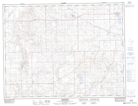
072F13 Kincorth Canada topo map, 1:50,000 scale
072F13 Kincorth NRCAN topographic map.
Includes UTM and GPS geographic coordinates (latitude and longitude). This 50k scale map is suitable for hiking, camping, and exploring, or you could frame it as a wall map.
Printed on-demand using high resolution, on heavy weight and acid free paper, or as an upgrade on a variety of synthetic materials.
Topos available on paper, Waterproof, Poly, or Tyvek. Usually shipping rolled, unless combined with other folded maps in one order.
- Product Number: NRCAN-072F13
- Parent Topo: TOPO-072F
- Map ID also known as: 072F13, 72F13
- Unfolded Size: Approximately 26" high by 36" wide
- Weight (paper map): ca. 55 grams
- Map Type: POD NRCAN Topographic Map
- Map Scale: 1:50,000
- Geographical region: Saskatchewan, Canada
Neighboring Maps:
All neighboring Canadian topo maps are available for sale online at 1:50,000 scale.
Purchase the smaller scale map covering this area: Topo-072F
Spatial coverage:
Topo map sheet 072F13 Kincorth covers the following places:
- Downey Lake - Downie Lake - Harris Reservoir - Junction Reservoir - The Weir - Maple Creek No. 111 - Prairie National Wildlife Area - Réserve nationale de faune des Prairies - Abbott Creek - Adams Creek - Boxelder Creek - Cypress Creek - Downie Creek - Gap Creek - Mackay Creek - Maple Creek - McCoy Creek - McShane Creek - Clearsite - Kincorth - Mackid


