
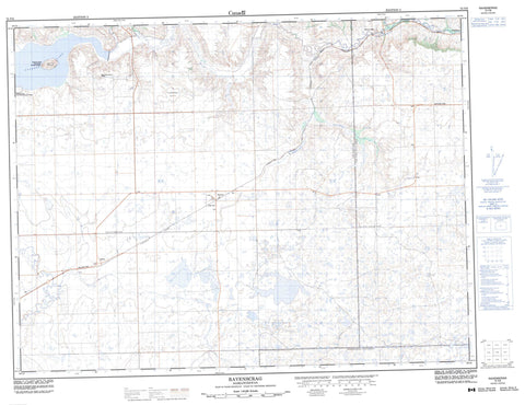
072F06 Ravenscrag Canada topo map, 1:50,000 scale
072F06 Ravenscrag NRCAN topographic map.
Includes UTM and GPS geographic coordinates (latitude and longitude). This 50k scale map is suitable for hiking, camping, and exploring, or you could frame it as a wall map.
Printed on-demand using high resolution, on heavy weight and acid free paper, or as an upgrade on a variety of synthetic materials.
Topos available on paper, Waterproof, Poly, or Tyvek. Usually shipping rolled, unless combined with other folded maps in one order.
- Product Number: NRCAN-072F06
- Parent Topo: TOPO-072F
- Map ID also known as: 072F06, 72F6, 72F06
- Unfolded Size: Approximately 26" high by 36" wide
- Weight (paper map): ca. 55 grams
- Map Type: POD NRCAN Topographic Map
- Map Scale: 1:50,000
- Geographical region: Saskatchewan, Canada
Neighboring Maps:
All neighboring Canadian topo maps are available for sale online at 1:50,000 scale.
Purchase the smaller scale map covering this area: Topo-072F
Spatial coverage:
Topo map sheet 072F06 Ravenscrag covers the following places:
- Robsart - Heglund Island - Cypress Lake - Palisade Lake - Henry and Harry's Butte - Humphrey Butte - Ravenscrag Butte - Frontier No. 19 - Reno No. 51 - White Valley No. 49 - Cypress Lake Recreation Site - Heglund Island Wildlife Refuge - Battle Creek - Belanger Creek - Blacktail Creek - Conglomerate Creek - Davis Creek - Fairwell Creek - Frenchman River - Moirvale Creek - Palisade Creek - Piapot Creek - Sucker Creek - Battle Creek - Neighbour - Olga - Palisade - Ravenscrag - Vidora


