
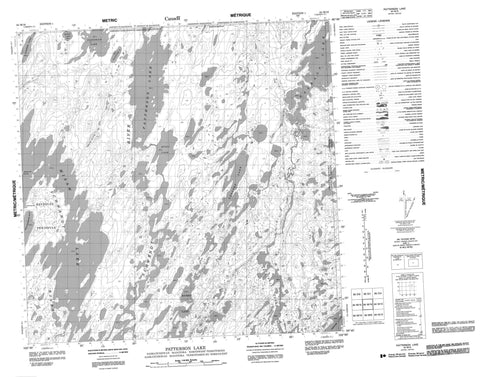
064M16 Patterson Lake Canada topo map, 1:50,000 scale
064M16 Patterson Lake NRCAN topographic map.
Includes UTM and GPS geographic coordinates (latitude and longitude). This 50k scale map is suitable for hiking, camping, and exploring, or you could frame it as a wall map.
Printed on-demand using high resolution, on heavy weight and acid free paper, or as an upgrade on a variety of synthetic materials.
Topos available on paper, Waterproof, Poly, or Tyvek. Usually shipping rolled, unless combined with other folded maps in one order.
- Product Number: NRCAN-064M16
- Parent Topo: TOPO-064M
- Map ID also known as: 064M16, 64M16
- Unfolded Size: Approximately 26" high by 36" wide
- Weight (paper map): ca. 55 grams
- Map Type: POD NRCAN Topographic Map
- Map Scale: 1:50,000
- Geographical region: Saskatchewan, Canada
Neighboring Maps:
All neighboring Canadian topo maps are available for sale online at 1:50,000 scale.
Purchase the smaller scale map covering this area: Topo-064M
Spatial coverage:
Topo map sheet 064M16 Patterson Lake covers the following places:
- Archibald Bay - Deatherage Bay - Anderson Peninsula - Reynolds Peninsula - Anderson Channel - Berglund Island - Allen Lake - Archibald Lake - Archibald Lakes - Bryde Lake - Bryde Lake - Chekask Lake - Chekask Lake - Combres Lake - Dionne Lake - Hasbala Lake - Hasbala Lake - Hugli Lake - Kissinger Lake - Ledford Lake - Many Islands Lake - Misaw Lake - Newlove Lake - Patterson Lake - Patterson Lake - Riches Lake - Stewart Lake - Tustowich Lake - Tustowich Lake - Vermeulen Lake - Arctic Butte - Peterson Creek - Schwandt River - Schwandt River


