
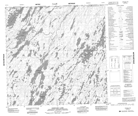
064M14 Gebhard Lake Canada topo map, 1:50,000 scale
064M14 Gebhard Lake NRCAN topographic map.
Includes UTM and GPS geographic coordinates (latitude and longitude). This 50k scale map is suitable for hiking, camping, and exploring, or you could frame it as a wall map.
Printed on-demand using high resolution, on heavy weight and acid free paper, or as an upgrade on a variety of synthetic materials.
Topos available on paper, Waterproof, Poly, or Tyvek. Usually shipping rolled, unless combined with other folded maps in one order.
- Product Number: NRCAN-064M14
- Parent Topo: TOPO-064M
- Map ID also known as: 064M14, 64M14
- Unfolded Size: Approximately 26" high by 36" wide
- Weight (paper map): ca. 55 grams
- Map Type: POD NRCAN Topographic Map
- Map Scale: 1:50,000
- Geographical region: Saskatchewan, Canada
Neighboring Maps:
All neighboring Canadian topo maps are available for sale online at 1:50,000 scale.
Purchase the smaller scale map covering this area: Topo-064M
Spatial coverage:
Topo map sheet 064M14 Gebhard Lake covers the following places:
- Bailey Lake - Bonokoski Lake - Bouchard Lake - Bradford Lake - Bradford Lake - Brown Lake - Bryan Lake - Frampton Lake - Frampton Lake - Gebhard Lake - Gentles Lake - Hamill Lake - Hatle Lake - Hatle Lake - Hein Lake - Lethbridge Lake - Lethbridge Lake - Lethridge Lake - Lethridge Lake - Linton Lake - Linton Lake - McLintock Lake - McLintock Lake - Pidcock Lake - Polgreen Lake - Ross Lake - Saruk Lake - Stainger Lake - Stanger Lake - Tindall Lake - Delmage River - MacKenzie Creek


