
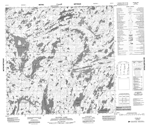
064M13 Wayow Lake Canada topo map, 1:50,000 scale
064M13 Wayow Lake NRCAN topographic map.
Includes UTM and GPS geographic coordinates (latitude and longitude). This 50k scale map is suitable for hiking, camping, and exploring, or you could frame it as a wall map.
Printed on-demand using high resolution, on heavy weight and acid free paper, or as an upgrade on a variety of synthetic materials.
Topos available on paper, Waterproof, Poly, or Tyvek. Usually shipping rolled, unless combined with other folded maps in one order.
- Product Number: NRCAN-064M13
- Parent Topo: TOPO-064M
- Map ID also known as: 064M13, 64M13
- Unfolded Size: Approximately 26" high by 36" wide
- Weight (paper map): ca. 55 grams
- Map Type: POD NRCAN Topographic Map
- Map Scale: 1:50,000
- Geographical region: Saskatchewan, Canada
Neighboring Maps:
All neighboring Canadian topo maps are available for sale online at 1:50,000 scale.
Purchase the smaller scale map covering this area: Topo-064M
Spatial coverage:
Topo map sheet 064M13 Wayow Lake covers the following places:
- Bird Bay - Long Channel - Barrett Island - Bear Island - Anson Lake - Berry Lake - Bickler Lake - Brown Lake - Cameron Lake - Campbell Lake - Campbell Lake - Cocks Lake - Collins Lake - Cybulski Lake - Darling Lake - Deschamps Lake - Gerow Lake - Gilchrist Lake - Grisdale Lake - Hamson Lake - Harding Lake - Kanten Lake - Kanten Lake - Latham Lake - Lichfield Lake - Middlemiss Lake - Reid Lake - Reitlo Lake - Striding Lake - Striding Lake - Tanaka Lake - Tanaka Lake - Wapistan Lake - Wapiyao Lake - Wayow Lake - Wilson Lake - Jones Creek


