
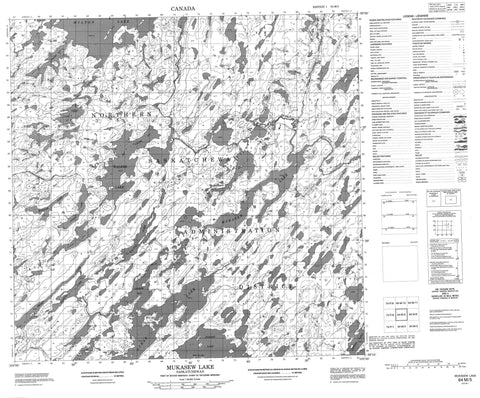
064M05 Mukasew Lake Canada topo map, 1:50,000 scale
064M05 Mukasew Lake NRCAN topographic map.
Includes UTM and GPS geographic coordinates (latitude and longitude). This 50k scale map is suitable for hiking, camping, and exploring, or you could frame it as a wall map.
Printed on-demand using high resolution, on heavy weight and acid free paper, or as an upgrade on a variety of synthetic materials.
Topos available on paper, Waterproof, Poly, or Tyvek. Usually shipping rolled, unless combined with other folded maps in one order.
- Product Number: NRCAN-064M05
- Parent Topo: TOPO-064M
- Map ID also known as: 064M05, 64M5, 64M05
- Unfolded Size: Approximately 26" high by 36" wide
- Weight (paper map): ca. 55 grams
- Map Type: POD NRCAN Topographic Map
- Map Scale: 1:50,000
- Geographical region: Saskatchewan, Canada
Neighboring Maps:
All neighboring Canadian topo maps are available for sale online at 1:50,000 scale.
Purchase the smaller scale map covering this area: Topo-064M
Spatial coverage:
Topo map sheet 064M05 Mukasew Lake covers the following places:
- Leskiw Bay - Walker Bay - Wright Bay - Brown Peninsula - Black Rapids - King Island - Miller Island - Baltus Lake - Dunand Lake - Fanson Lake - Frost Lake - Harper Lake - Harris Lake - Harvey Lake - Janzen Lake - Johnson Lake - Little Lake - Loewen Lake - Michaud Lake - Milton Lake - Mooney Lake - Mudd Lake - Mukasew Lake - Nystedt Lake - Ochak Lake - Ouellette Lake - Peters Lake - Quinn Lake - Russell Lake - Schmidt Lake - Thompson Lake - Todd Lake - Walker Lake - Ward Lake - East Porcupine River - McIntyre River


