
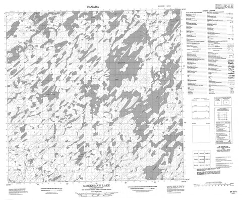
064M04 Misekumaw Lake Canada topo map, 1:50,000 scale
064M04 Misekumaw Lake NRCAN topographic map.
Includes UTM and GPS geographic coordinates (latitude and longitude). This 50k scale map is suitable for hiking, camping, and exploring, or you could frame it as a wall map.
Printed on-demand using high resolution, on heavy weight and acid free paper, or as an upgrade on a variety of synthetic materials.
Topos available on paper, Waterproof, Poly, or Tyvek. Usually shipping rolled, unless combined with other folded maps in one order.
- Product Number: NRCAN-064M04
- Parent Topo: TOPO-064M
- Map ID also known as: 064M04, 64M4, 64M04
- Unfolded Size: Approximately 26" high by 36" wide
- Weight (paper map): ca. 55 grams
- Map Type: POD NRCAN Topographic Map
- Map Scale: 1:50,000
- Geographical region: Saskatchewan, Canada
Neighboring Maps:
All neighboring Canadian topo maps are available for sale online at 1:50,000 scale.
Purchase the smaller scale map covering this area: Topo-064M
Spatial coverage:
Topo map sheet 064M04 Misekumaw Lake covers the following places:
- Johnston Bay - Martin Bay - Chervek Island - Clarke Island - King Island - Lake Island - Laurie Island - Lecuyer Island - Martin Island - Anderson Lake - Fanson Lake - Hannah Lake - Heden Lake - Janzen Lake - Johnson Lake - Lavene Lake - Loewen Lake - MacDonald Lake - Middleton Lake - Misekumaw Lake - Nordbye Lake - Ochak Lake - Swift Current Lake - Thomson Lake - Waters Lake - White Lake


