
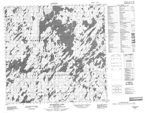
064M03 Bickerton Lake Canada topo map, 1:50,000 scale
064M03 Bickerton Lake NRCAN topographic map.
Includes UTM and GPS geographic coordinates (latitude and longitude). This 50k scale map is suitable for hiking, camping, and exploring, or you could frame it as a wall map.
Printed on-demand using high resolution, on heavy weight and acid free paper, or as an upgrade on a variety of synthetic materials.
Topos available on paper, Waterproof, Poly, or Tyvek. Usually shipping rolled, unless combined with other folded maps in one order.
- Product Number: NRCAN-064M03
- Parent Topo: TOPO-064M
- Map ID also known as: 064M03, 64M3, 64M03
- Unfolded Size: Approximately 26" high by 36" wide
- Weight (paper map): ca. 55 grams
- Map Type: POD NRCAN Topographic Map
- Map Scale: 1:50,000
- Geographical region: Saskatchewan, Canada
Neighboring Maps:
All neighboring Canadian topo maps are available for sale online at 1:50,000 scale.
Purchase the smaller scale map covering this area: Topo-064M
Spatial coverage:
Topo map sheet 064M03 Bickerton Lake covers the following places:
- Anderson Bay - Cameron Bay - Cook Bay - Cooper Bay - Davies Bay - Edwards Bay - Ferguson Bay - Graham Bay - Martin Bay - White Bay - Bokitch Island - Johnson Island - Bickerton Lake - Brown Lake - Campbell Lake - Cunningham Lake - Delhaye Lake - Dezall Lake - Ducharme Lake - Dunlop Lake - Edwards Lake - Erickson Lake - Flatt Lake - Ford Lake - Foulds Lake - Fraser Lake - Hamilton Lake - Hannah Lake - Haraldson Lake - Hiebert Lake - Janzen Lake - Nordbye Lake - Phelps Lake - Richardson Lake - Sesep Lake - Walsh Lake - Williams Lake


