
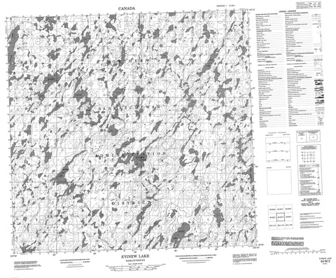
064M02 Eyinew Lake Canada topo map, 1:50,000 scale
064M02 Eyinew Lake NRCAN topographic map.
Includes UTM and GPS geographic coordinates (latitude and longitude). This 50k scale map is suitable for hiking, camping, and exploring, or you could frame it as a wall map.
Printed on-demand using high resolution, on heavy weight and acid free paper, or as an upgrade on a variety of synthetic materials.
Topos available on paper, Waterproof, Poly, or Tyvek. Usually shipping rolled, unless combined with other folded maps in one order.
- Product Number: NRCAN-064M02
- Parent Topo: TOPO-064M
- Map ID also known as: 064M02, 64M2, 64M02
- Unfolded Size: Approximately 26" high by 36" wide
- Weight (paper map): ca. 55 grams
- Map Type: POD NRCAN Topographic Map
- Map Scale: 1:50,000
- Geographical region: Saskatchewan, Canada
Neighboring Maps:
All neighboring Canadian topo maps are available for sale online at 1:50,000 scale.
Purchase the smaller scale map covering this area: Topo-064M
Spatial coverage:
Topo map sheet 064M02 Eyinew Lake covers the following places:
- Bell Bay - Anaka Lake - Anderson Lake - Atchison Lake - Batsch Lake - Bear Lake - Bell Lake - Brown Lake - Cameron Lake - Carroll Lake - Cooper Lake - Craig Lake - Currie Lake - Delhaye Lake - Eyinew Lake - Ford Lake - Foulds Lake - Gibson Lake - Gleason Lake - Grant Lake - Gunn Lake - Hansen Lake - Harris Lake - Hart Lake - Hill Lake - Johnson Lake - Kohn Lake - Moose Jaw Lake - Regina Lake - Bell Creek


