
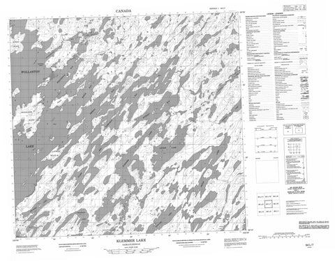
064L07 Klemmer Lake Canada topo map, 1:50,000 scale
064L07 Klemmer Lake NRCAN topographic map.
Includes UTM and GPS geographic coordinates (latitude and longitude). This 50k scale map is suitable for hiking, camping, and exploring, or you could frame it as a wall map.
Printed on-demand using high resolution, on heavy weight and acid free paper, or as an upgrade on a variety of synthetic materials.
Topos available on paper, Waterproof, Poly, or Tyvek. Usually shipping rolled, unless combined with other folded maps in one order.
- Product Number: NRCAN-064L07
- Parent Topo: TOPO-064L
- Map ID also known as: 064L07, 64L7, 64L07
- Unfolded Size: Approximately 26" high by 36" wide
- Weight (paper map): ca. 55 grams
- Map Type: POD NRCAN Topographic Map
- Map Scale: 1:50,000
- Geographical region: Saskatchewan, Canada
Neighboring Maps:
All neighboring Canadian topo maps are available for sale online at 1:50,000 scale.
Purchase the smaller scale map covering this area: Topo-064L
Spatial coverage:
Topo map sheet 064L07 Klemmer Lake covers the following places:
- Broughton Bay - Clark Bay - Heming Bay - Kempton Bay - Kiteley Bay - McRae Bay - Rabbabou Bay - Richardson Bay - McDonell Point - Lac la Hache 220 - Bird Island - Gurney Island - McRae Island - Shaganappie Island - Symons Island - Bird Lake - Crampean Lake - Heinz Lake - Kerslake Lake - Klemmer Lake - Kroeker Lake - Leckie Lake - Moore Lake - Oback Lake - Painton Lake - Pennycook Lake - Wollaston Lake


