
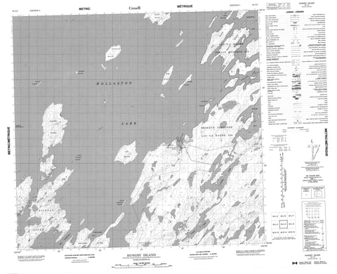
064L03 Hungry Island Canada topo map, 1:50,000 scale
064L03 Hungry Island NRCAN topographic map.
Includes UTM and GPS geographic coordinates (latitude and longitude). This 50k scale map is suitable for hiking, camping, and exploring, or you could frame it as a wall map.
Printed on-demand using high resolution, on heavy weight and acid free paper, or as an upgrade on a variety of synthetic materials.
Topos available on paper, Waterproof, Poly, or Tyvek. Usually shipping rolled, unless combined with other folded maps in one order.
- Product Number: NRCAN-064L03
- Parent Topo: TOPO-064L
- Map ID also known as: 064L03, 64L3, 64L03
- Unfolded Size: Approximately 26" high by 36" wide
- Weight (paper map): ca. 55 grams
- Map Type: POD NRCAN Topographic Map
- Map Scale: 1:50,000
- Geographical region: Saskatchewan, Canada
Neighboring Maps:
All neighboring Canadian topo maps are available for sale online at 1:50,000 scale.
Purchase the smaller scale map covering this area: Topo-064L
Spatial coverage:
Topo map sheet 064L03 Hungry Island covers the following places:
- Fidler Bay - Kempton Bay - Loranger Bay - Welcome Bay - Ashley Peninsula - Big Narrows - Wollaston Lake - Lac la Hache 220 - Eckman Island - Estevan Island - Geese Island - George Island - Gow Island - Gribbage Island - Hungry Island - Jackpine Island - Klyne Island - LabbyIsland - Little Gribbage Island - Little Hungry Island - Loranger Island - Morin Island - Nolan Island - Paul Island - Strong Island - Klein Lake - Larsen Lake - Wollaston Lake


