
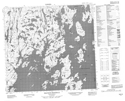
064E16 Feaviour Peninsula Canada topo map, 1:50,000 scale
064E16 Feaviour Peninsula NRCAN topographic map.
Includes UTM and GPS geographic coordinates (latitude and longitude). This 50k scale map is suitable for hiking, camping, and exploring, or you could frame it as a wall map.
Printed on-demand using high resolution, on heavy weight and acid free paper, or as an upgrade on a variety of synthetic materials.
Topos available on paper, Waterproof, Poly, or Tyvek. Usually shipping rolled, unless combined with other folded maps in one order.
- Product Number: NRCAN-064E16
- Parent Topo: TOPO-064E
- Map ID also known as: 064E16, 64E16
- Unfolded Size: Approximately 26" high by 36" wide
- Weight (paper map): ca. 55 grams
- Map Type: POD NRCAN Topographic Map
- Map Scale: 1:50,000
- Geographical region: Manitoba, Canada
Neighboring Maps:
All neighboring Canadian topo maps are available for sale online at 1:50,000 scale.
Purchase the smaller scale map covering this area: Topo-064E
Spatial coverage:
Topo map sheet 064E16 Feaviour Peninsula covers the following places:
- McLean Bay - Zangeza Bay - Feaviour Peninsula - Hills Point - Krauchi Peninsula - Smith Point - Smith Channel - Berston Island - Crane Island - Cumines Island - Fontaine Island - Fraser Island - Johnson Island - Tucker Island - Wallace Island - Brockbank Lake - Crimes Lake - Reindeer Lake - Reindeer Lake - Zengle Lake - Lueaza River


