
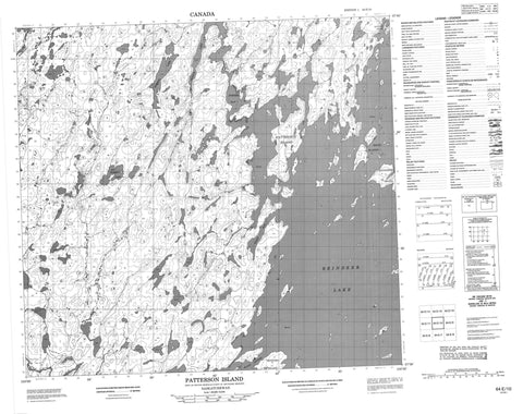
064E10 Patterson Island Canada topo map, 1:50,000 scale
064E10 Patterson Island NRCAN topographic map.
Includes UTM and GPS geographic coordinates (latitude and longitude). This 50k scale map is suitable for hiking, camping, and exploring, or you could frame it as a wall map.
Printed on-demand using high resolution, on heavy weight and acid free paper, or as an upgrade on a variety of synthetic materials.
Topos available on paper, Waterproof, Poly, or Tyvek. Usually shipping rolled, unless combined with other folded maps in one order.
- Product Number: NRCAN-064E10
- Parent Topo: TOPO-064E
- Map ID also known as: 064E10, 64E10
- Unfolded Size: Approximately 26" high by 36" wide
- Weight (paper map): ca. 55 grams
- Map Type: POD NRCAN Topographic Map
- Map Scale: 1:50,000
- Geographical region: Saskatchewan, Canada
Neighboring Maps:
All neighboring Canadian topo maps are available for sale online at 1:50,000 scale.
Purchase the smaller scale map covering this area: Topo-064E
Spatial coverage:
Topo map sheet 064E10 Patterson Island covers the following places:
- Porter Bay - Wiley Bay - Hunter Point - Brown Channel - McLean Channel - Bedford Island - Fontaine Island - Patterson Island - Rocky Island - Rocky Islands - Sanderson Island - Dobson Lake - Pearce Lake - Reindeer Lake - Staples Lake - Swan River - Thyme Hill River - Woodward River


