
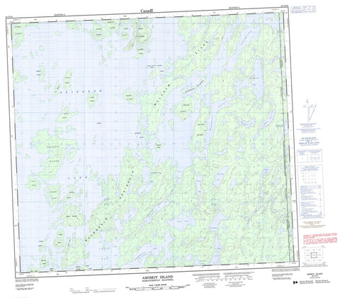
064D16 Amiskit Island Canada topo map, 1:50,000 scale
064D16 Amiskit Island NRCAN topographic map.
Includes UTM and GPS geographic coordinates (latitude and longitude). This 50k scale map is suitable for hiking, camping, and exploring, or you could frame it as a wall map.
Printed on-demand using high resolution, on heavy weight and acid free paper, or as an upgrade on a variety of synthetic materials.
Topos available on paper, Waterproof, Poly, or Tyvek. Usually shipping rolled, unless combined with other folded maps in one order.
- Product Number: NRCAN-064D16
- Parent Topo: TOPO-064D
- Map ID also known as: 064D16, 64D16
- Unfolded Size: Approximately 26" high by 36" wide
- Weight (paper map): ca. 55 grams
- Map Type: POD NRCAN Topographic Map
- Map Scale: 1:50,000
- Geographical region: Manitoba, Canada
Neighboring Maps:
All neighboring Canadian topo maps are available for sale online at 1:50,000 scale.
Purchase the smaller scale map covering this area: Topo-064D
Spatial coverage:
Topo map sheet 064D16 Amiskit Island covers the following places:
- Butler Bay - Halldorson Bay - King Bay - Loewen Bay - Loon Bay - Lowdermilk Bay - Munro Bay - Whitesand Bay - Whitesand Bay - MacDonald Peninsula - Magnusson Channel - Abbott Island - Amiskit Island - Bedard Island - Bjornson Island - Boucher Island - Cameron Island - Cooke Island - Dewdney Island - Doucet Island - Drever Island - Edgar Island - Fawley Island - Fox Island - Holukoff Island - Hugh Island - Hydichuk Island - Klein Island - Kroeker Islands - Laxdal Island - Leblanc Island - Malcolm Island - McTaggart Island - Morris Island - Murray Islands - Shaw Island - Sutton Island - Tatham Island - Upistutik Island - Walter Island - Zillinsky Island - Bernhardt Lake - Border Lake - Bristow Lake - Calder Lake - Francis Lake - Garth Lake - Isaac Lake - Karos Lake - Klassen Lake - Lowdermilk Lake - Moosooskaw Lake - Morrison Lake - Olson Lake - Ranschaert Lake - Reindeer Lake - Reindeer Lake - Serwatkewich Lake - Stawnychka Lake - Manitoba - Saskatchewan - Wallace Creek


