
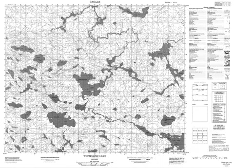
053C11 Whiteloon Lake Canada topo map, 1:50,000 scale
053C11 Whiteloon Lake NRCAN topographic map.
Includes UTM and GPS geographic coordinates (latitude and longitude). This 50k scale map is suitable for hiking, camping, and exploring, or you could frame it as a wall map.
Printed on-demand using high resolution, on heavy weight and acid free paper, or as an upgrade on a variety of synthetic materials.
Topos available on paper, Waterproof, Poly, or Tyvek. Usually shipping rolled, unless combined with other folded maps in one order.
- Product Number: NRCAN-053C11
- Parent Topo: TOPO-053C
- Map ID also known as: 053C11, 53C11
- Unfolded Size: Approximately 26" high by 36" wide
- Weight (paper map): ca. 55 grams
- Map Type: POD NRCAN Topographic Map
- Map Scale: 1:50,000
- Geographical region: Ontario, Canada
Neighboring Maps:
All neighboring Canadian topo maps are available for sale online at 1:50,000 scale.
Purchase the smaller scale map covering this area: Topo-053C
Spatial coverage:
Topo map sheet 053C11 Whiteloon Lake covers the following places:
- North Spirit Lake Indian Reserve - Réserve indienne North Spirit Lake - Campbell's Island - Buckett Lake - Cellist Lake - Challis Lake - De Witt Lake - Duckling Lake - Hawley Lakes - Loree Lake - Mechita Lake - Mortley Lake - North Spirit Lake - Pakeagama Lake - Pakwan Lake - Pakwashkogan Lake - Tallrice Lake - Whiteloon Lake - Johnston Rapid - Johnston Rapids - Flanagan River


